


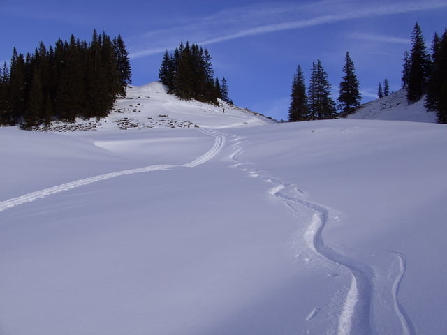
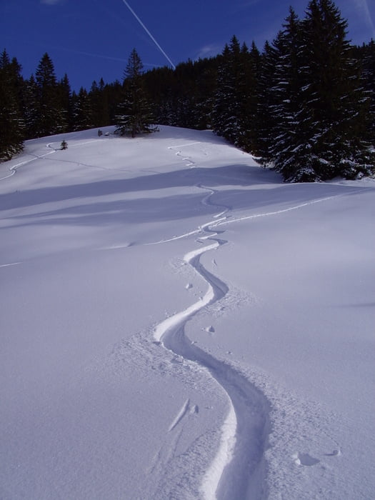
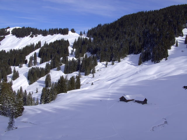
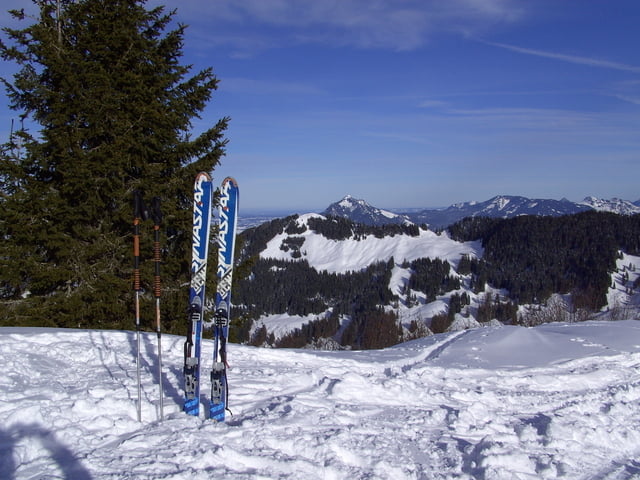
Einfache Skitour, wenn man wieder einmal nicht weiß wohin. Die Tour beginnt beim Parkplatz im Ostertal. Nach Aufstieg zum Rangiswanger Horn ( ist so gut wie nicht zu verfehlen, da fast immer Leute unterwegs sind ) etwa 450 mtr den Grat entlang nach Süden Richtung Weiherkopf. Schöne Abfahrt bis auf etwa 1300 mtr. dann wieder anfellen und nochmal gute 300 Hm Aufstieg zum Gr. Ochsenkopf. Dann Abfahrt zurück zum Parkplatz.
Tour gallery
Tour map and elevation profile
Minimum height 988 m
Maximum height 1674 m
More about the tour author
|
|
yr1willi |
Comments

von Kempten/Allgäu über Immenstadt und Blaichach in`s Gunzesrieder Tal. 1,5 km nach Gunzesried zweigt eine schmale Straße nach links ab in`s Ostertal bis zum Parkplatz.
GPS tracks
Trackpoints-
GPX / Garmin Map Source (gpx) download
-
TCX / Garmin Training Center® (tcx) download
-
CRS / Garmin Training Center® (crs) download
-
Google Earth (kml) download
-
G7ToWin (g7t) download
-
TTQV (trk) download
-
Overlay (ovl) download
-
Fugawi (txt) download
-
Kompass (DAV) Track (tk) download
-
Track data sheet (pdf) download
-
Original file of the author (gpx) download
More about the tour author
|
|
yr1willi |
Add to my favorites
Remove from my favorites
Edit tags
Open track
My score
Rate