Login

Forgot your login?

Cookies have to be accepted!
Your browser's cookie functionality is disabled. Please enable this functionality.

Not a member yet?

Register now
Login

Available for registred users only

Log in to use this feature.

Forgot your login?

Cookies have to be accepted!
Your browser's cookie functionality is disabled. Please enable this functionality.

Not a member yet?

Register now
Filter
Categories
Advanced filters
  • Distance (km)
  • Height
Save filters Reset filter

TrackRank

QRCode

Technical data

Distance92,7 km Height796 m Way down782 m Duration04:00 h:m Date10.12.2008
Scores Author Landscape Fun factor Fitness Technique

Statistics

311 Views Scores 46 Downloads Average
Rate
  • Track data sheet
  • Directions
  • Downloads
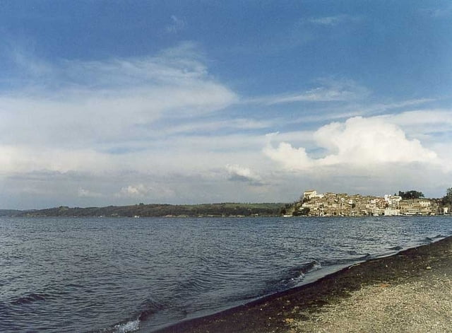
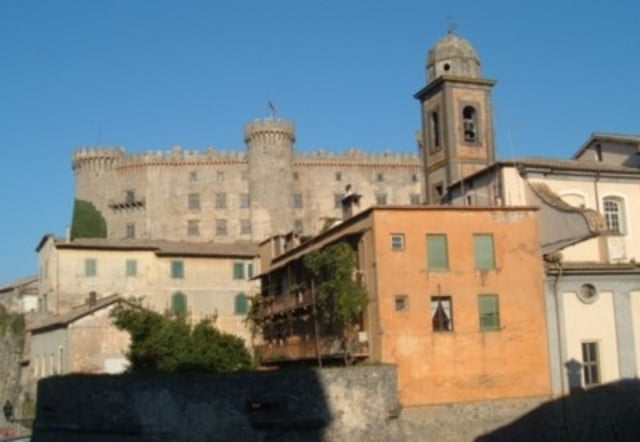
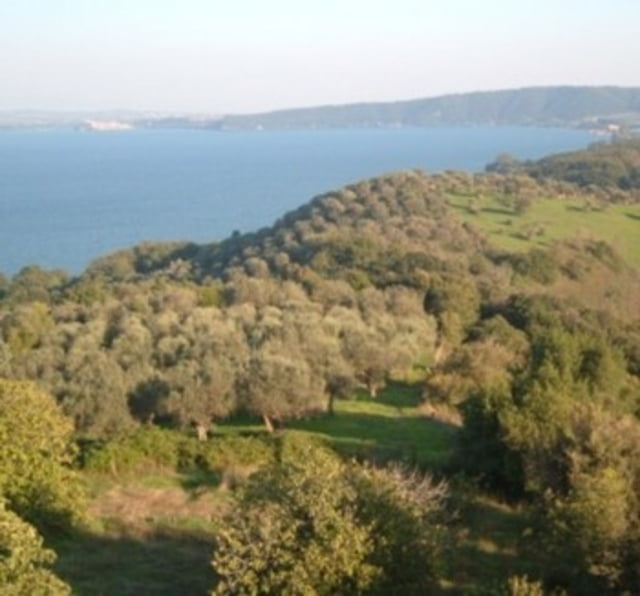
Diese Tour zeigt wie man Rom nach Westen schnellstens verlassen kann um dann auf kleineren Strassen zu fahren. Es geht über das Land nach Bracciano und dann um den See herum. Eine landschaftlich schöne Tour mit viel Natur.

Tour gallery

Tour map and elevation profile

  • Open Street Map
  • Google
Minimum height 39 m Maximum height 265 m Detailed view

More about the tour author

tlorenz
Member since 2007

Send private message

Comments

GPS tracks

Trackpoints
  • GPX / Garmin Map Source (gpx) download
  • TCX / Garmin Training Center® (tcx) download
  • CRS / Garmin Training Center® (crs) download
  • Google Earth (kml) download
  • G7ToWin (g7t) download
  • TTQV (trk) download
  • Overlay (ovl) download
  • Fugawi (txt) download
  • Kompass (DAV) Track (tk) download
  • Track data sheet (pdf) download
  • Original file of the author (gpx) download

More about the tour author

tlorenz
Member since 2007

Send private message
Share track
Add to my favorites
Remove from my favorites
Edit tags
My score
Rate
Track: Um den Lago di Bracciano herum
Type: Road biking
Distance: 92,7 km
Evaluated on:
Duration:
Day(s)
Hour(s)
Minute(s)
Score: Landscape Fun factor Fitness Technique