


Diese Transalp ist angelehnt an die Heckmaier Route bzw. die Summit von U. Stanciu aus seinem Buch "Traumtouren Transalp". Allerdings haben wir den Tremalzo weggelassen und sind dafür über den "Passe Bregn da l´Ors gefahren. Hier könnte man sich auch einen Tag sparen, aber wir hatten es nicht eilig.
Reisezeit war vom 15.7. - 21.7.
1. Tag: Oberstdorf - Daalas (56km/1750hm)
2. Tag: Dalaas - Davos (55km/2536hm)
3. Tag: Davos - Livigno (57km/2100hm)
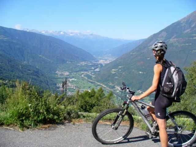
4. Tag: Livigno - Grosio (65km/1320hm)
5. Tag: Grosio - Dimaro (86km / 2250hm)
6. Tag: Dimaro - Ponte Arche (60km/1820)
7. Tag: Ponte Arche - Riva (25km /600hm)
Reisezeit war vom 15.7. - 21.7.
1. Tag: Oberstdorf - Daalas (56km/1750hm)
2. Tag: Dalaas - Davos (55km/2536hm)
3. Tag: Davos - Livigno (57km/2100hm)
4. Tag: Livigno - Grosio (65km/1320hm)
5. Tag: Grosio - Dimaro (86km / 2250hm)
6. Tag: Dimaro - Ponte Arche (60km/1820)
7. Tag: Ponte Arche - Riva (25km /600hm)
Tour gallery
Tour map and elevation profile
Minimum height 1809 m
Maximum height 1821 m
More about the tour author
|
|
doweb |
Comments
A7 Ulm - Füssen, bei Kempten nach Oberstdorf
GPS tracks
Trackpoints-
GPX / Garmin Map Source (gpx) download
-
TCX / Garmin Training Center® (tcx) download
-
CRS / Garmin Training Center® (crs) download
-
Google Earth (kml) download
-
G7ToWin (g7t) download
-
TTQV (trk) download
-
Overlay (ovl) download
-
Fugawi (txt) download
-
Kompass (DAV) Track (tk) download
-
Track data sheet (pdf) download
-
Original file of the author (gpx) download
More about the tour author
|
|
doweb |
Add to my favorites
Remove from my favorites
Edit tags
Open track
My score
Rate
Schieben
Höhendaten