


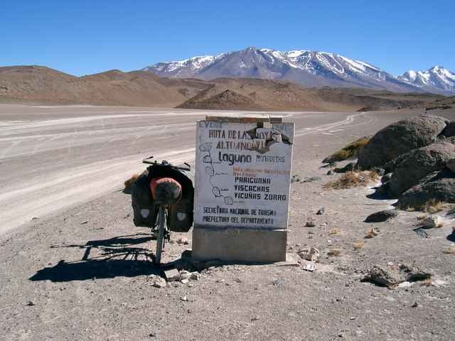
Die Tour ist im Südamerika Radreisefüher des Reise-Know-How Verlages (2. Auflage) ausführlich beschrieben. Sie führt von San Pedro de Atacama nach Colchane am Salar von Uyuni. Eine schwere Radtour mit expeditionsmäßigen Bedingungen, die nur von erfahrenen Tourenfahrern und Mountainbikern in Angriff genommen werden sollte. Die Fahrzeit für die 510 km beträgt je nach Kondition zwischen 8-12 Tage. Ein einmaliges Erlebnis, das sich so schnell nicht aus eurem Festspeicher löscht.
Tour gallery
Tour map and elevation profile
Minimum height 2390 m
Maximum height 4932 m
More about the tour author

|
Comments

Der Ausgangspunkt San Pedro de Atacama in Chile wird von allen größeren Busgesellschaften angefahren.
GPS tracks
Trackpoints-
GPX / Garmin Map Source (gpx) download
-
TCX / Garmin Training Center® (tcx) download
-
CRS / Garmin Training Center® (crs) download
-
Google Earth (kml) download
-
G7ToWin (g7t) download
-
TTQV (trk) download
-
Overlay (ovl) download
-
Fugawi (txt) download
-
Kompass (DAV) Track (tk) download
-
Track data sheet (pdf) download
-
Original file of the author (gpx) download
More about the tour author
|
|
Add to my favorites
Remove from my favorites
Edit tags
Open track
My score
Rate