


As - Polna - Luzna - prehrada Skalka - letiste Cheb - prehrada Jesenice - Cheb - Seeberg - Hazlov - Vyhledy - As
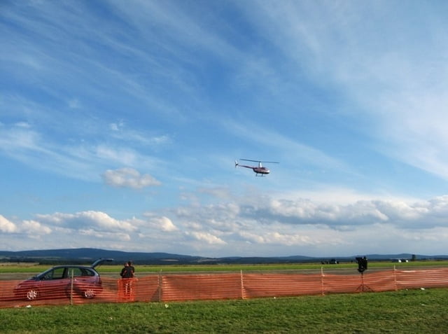
Dnešní trasu jsem opět vymýšlel s cílem "hlavně jinudy než minule"! Byla také zpestřena návštěvou leteckého dne na letišti v Chebu. Grippeny jsem vyfotit nestihl, tak alespoň pár fotek ostatních letadel.
Na foto se podíváte, když kliknete na odkaz.
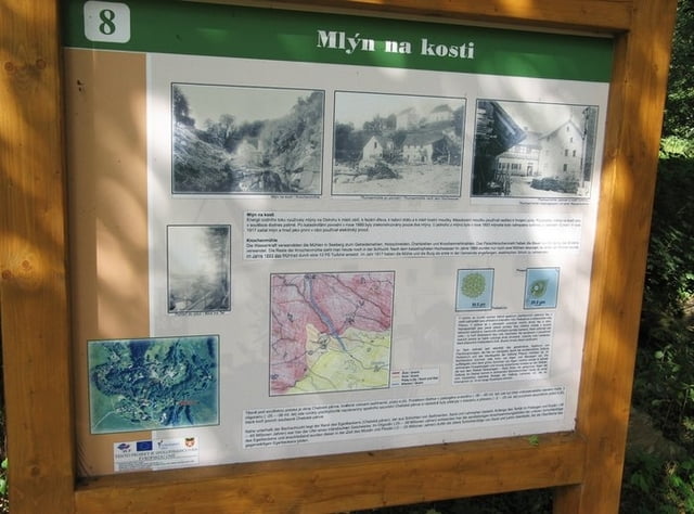
http://www.muzeum-as.cz/de/uvodni
Further information at
http://stanpilot.rajce.idnes.cz/kolo_2008-08-23_As-Vyhledy-Cheb_letiste-Jesenice-Cheb-Skalka-As/Tour gallery
Tour map and elevation profile
Minimum height 436 m
Maximum height 702 m
More about the tour author
|
|
stan - pilot |
Comments

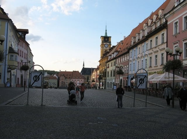
K nám do Aše se dá cestovat vlakem ze stanice Cheb, což trvá přibližně necelou jednu hodinu, nebo můžete přijet autem po silnice č. 64, která vás nakonec dovede až na hraniční přechod Aš/Asch - Selb.
GPS tracks
Trackpoints-
GPX / Garmin Map Source (gpx) download
-
TCX / Garmin Training Center® (tcx) download
-
CRS / Garmin Training Center® (crs) download
-
Google Earth (kml) download
-
G7ToWin (g7t) download
-
TTQV (trk) download
-
Overlay (ovl) download
-
Fugawi (txt) download
-
Kompass (DAV) Track (tk) download
-
Track data sheet (pdf) download
-
Original file of the author (gpx) download
More about the tour author
|
|
stan - pilot |
Add to my favorites
Remove from my favorites
Edit tags
Open track
My score
Rate