


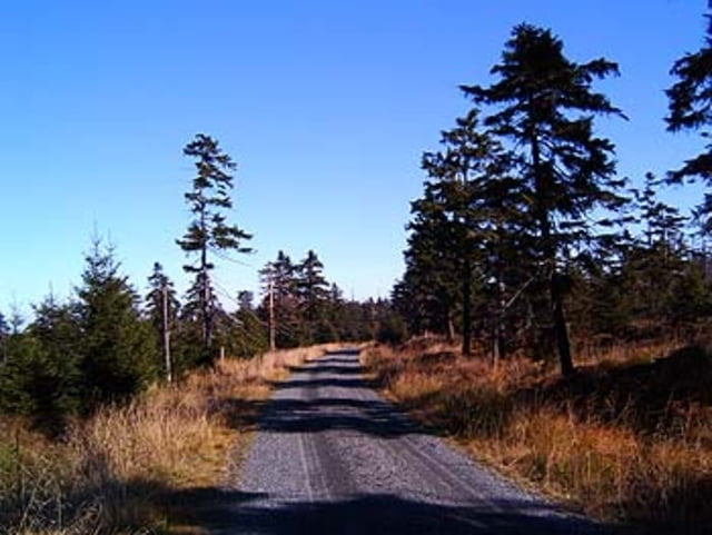
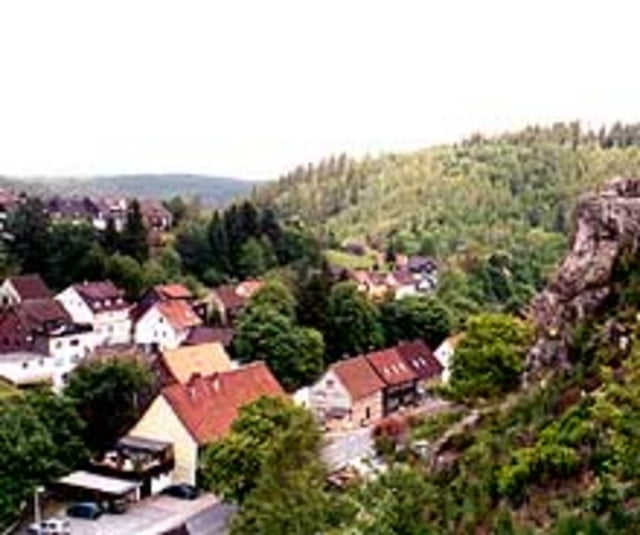
Vom Schützenplatz in Clausthal am Nassewieser Teich vorbei in das Hangental. Wieder hinauf zum Braunseck und hinunter zur Sösetalsperre. Über das Tal Gr. Schacht auf den Acker zur Hanskühnenburg (www.hanskuehnenburg-im-harz.de). Entlang der Ackerstrasse zur Magdeburger Hütte. Ein kurzes Stück die B242 entlang ehe es über eine Schotterpiste zur Branderklippe geht. Von hier geht es nur noch bergab bis nach Altenau. Am alten Bahnhof in Altenau wird der Weg über den alten Bahndamm nach Clausthal-Zellerfeld genommen.
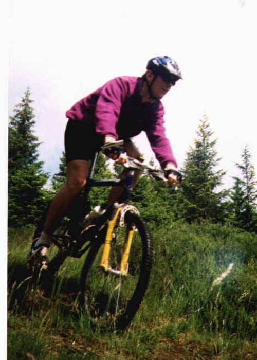
Tour gallery
Tour map and elevation profile
Minimum height 325 m
Maximum height 837 m
More about the tour author

|
trailghost |
Comments

- Auto: A7 Ausfahrt Seesen; B242 bis nach Clausthal-Zellerfeld
- Bahn: bis Goslar, dann Bus bis Clausthal-Zellerfeld
GPS tracks
Trackpoints-
GPX / Garmin Map Source (gpx) download
-
TCX / Garmin Training Center® (tcx) download
-
CRS / Garmin Training Center® (crs) download
-
Google Earth (kml) download
-
G7ToWin (g7t) download
-
TTQV (trk) download
-
Overlay (ovl) download
-
Fugawi (txt) download
-
Kompass (DAV) Track (tk) download
-
Track data sheet (pdf) download
-
Original file of the author (gpx) download
More about the tour author
|
|
trailghost |
Add to my favorites
Remove from my favorites
Edit tags
Open track
My score
Rate