Login

Forgot your login?

Cookies have to be accepted!
Your browser's cookie functionality is disabled. Please enable this functionality.

Not a member yet?

Register now
Login

Available for registred users only

Log in to use this feature.

Forgot your login?

Cookies have to be accepted!
Your browser's cookie functionality is disabled. Please enable this functionality.

Not a member yet?

Register now
Filter
Categories
Advanced filters
  • Distance (km)
  • Height
Save filters Reset filter

TrackRank

QRCode

Technical data

Distance2,9 km Height628 m Way down0 m Duration01:45 h:m Date22.12.2008
Scores Author Landscape Fun factor Fitness Technique

Statistics

1479 Views Scores 105 Downloads Average
Rate
  • Track data sheet
  • Directions
  • Downloads

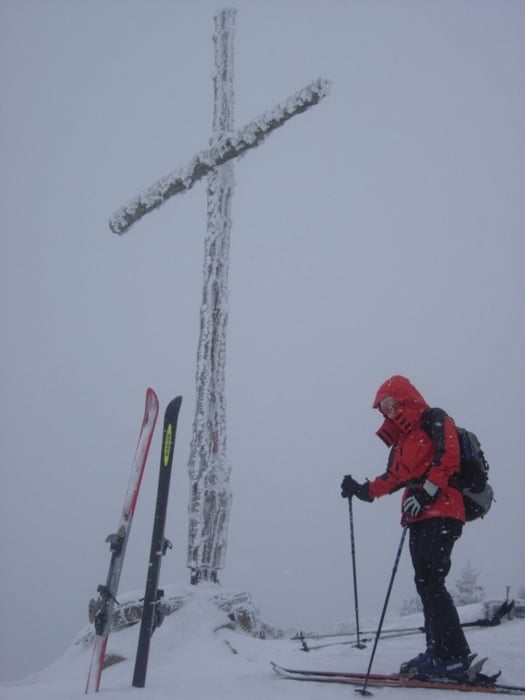
Einfache Skitour für Zwischendurch. Von Eggerstanden Richtung Südosten geht es gleichmäßig steigend auf den Gipfel des Fänerenspitz. Einstieg der Tour ist gleich links neben der Dorfkirche.

Abfahrt entlang der Aufstiegsspur.

Tour gallery

Tour map and elevation profile

  • Open Street Map
  • Google
Minimum height 882 m Maximum height 1511 m Detailed view

More about the tour author

schmirk
Member since 2005

Send private message

Comments

Mit dem PKW bis Eggerstanden. Parken bei der Kirche möglich.

GPS tracks

Trackpoints
  • GPX / Garmin Map Source (gpx) download
  • TCX / Garmin Training Center® (tcx) download
  • CRS / Garmin Training Center® (crs) download
  • Google Earth (kml) download
  • G7ToWin (g7t) download
  • TTQV (trk) download
  • Overlay (ovl) download
  • Fugawi (txt) download
  • Kompass (DAV) Track (tk) download
  • Track data sheet (pdf) download
  • Original file of the author (gpx) download

More about the tour author

schmirk
Member since 2005

Send private message
Share track
Add to my favorites
Remove from my favorites
Edit tags
My score
Rate
Track: Fänerenspitz
Type: Ski touring
Distance: 2,9 km
Evaluated on:
Duration:
Day(s)
Hour(s)
Minute(s)
Score: Landscape Fun factor Fitness Technique