Login

Forgot your login?

Cookies have to be accepted!
Your browser's cookie functionality is disabled. Please enable this functionality.

Not a member yet?

Register now
Login

Available for registred users only

Log in to use this feature.

Forgot your login?

Cookies have to be accepted!
Your browser's cookie functionality is disabled. Please enable this functionality.

Not a member yet?

Register now
Filter
Categories
Advanced filters
  • Distance (km)
  • Height
Save filters Reset filter

TrackRank

QRCode

Technical data

Distance35,7 km Height1276 m Way down1274 m Duration00:00 h:m Date15.01.2006
Scores Author Landscape Fun factor Fitness Technique

Statistics

1520 Views Scores 578 Downloads Average
Rate
  • Track data sheet
  • Directions
  • Downloads
Zuerst Asphaltauffahrt zum Aussichtspunkt Cumbrecita. Nach Abfahrt langer Anstieg zum Refugio Pilar. Anschliessend fahrt über den Grat der Cumbre Nueva gefolgt von schwierigem Downhill.

Further information at

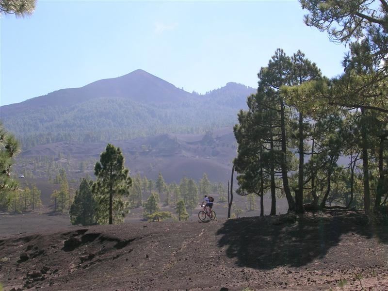
http://www.lapalma-mountainbike-guide.com/touren.htm

Tour gallery

Tour map and elevation profile

  • Open Street Map
  • Google
Minimum height 1000 m Maximum height 999 m Detailed view

More about the tour author

klinker

Comments

Besucherzentrum der Caldera de Taburiente

GPS tracks

Trackpoints
  • GPX / Garmin Map Source (gpx) download
  • TCX / Garmin Training Center® (tcx) download
  • CRS / Garmin Training Center® (crs) download
  • Google Earth (kml) download
  • G7ToWin (g7t) download
  • TTQV (trk) download
  • Overlay (ovl) download
  • Fugawi (txt) download
  • Kompass (DAV) Track (tk) download
  • Track data sheet (pdf) download
  • Original file of the author (gpx) download

More about the tour author

klinker

Share track
Add to my favorites
Remove from my favorites
Edit tags
My score
Rate
Track: Cumbrecita und Cumbre Nueva
Type: Mountain bike
Distance: 35,7 km
Evaluated on:
Duration:
Day(s)
Hour(s)
Minute(s)
Score: Landscape Fun factor Fitness Technique