Login

Forgot your login?

Cookies have to be accepted!
Your browser's cookie functionality is disabled. Please enable this functionality.

Not a member yet?

Register now
Login

Available for registred users only

Log in to use this feature.

Forgot your login?

Cookies have to be accepted!
Your browser's cookie functionality is disabled. Please enable this functionality.

Not a member yet?

Register now
Filter
Categories
Advanced filters
  • Distance (km)
  • Height
Save filters Reset filter

TrackRank

QRCode

Technical data

Distance37,2 km Height820 m Way down818 m Duration03:00 h:m Date28.12.2008
Scores Author User Landscape Fun factor Fitness Technique

Statistics

583 Views 1 Score 184 Downloads 4.00 Average
Rate
  • Track data sheet
  • Directions
  • Downloads

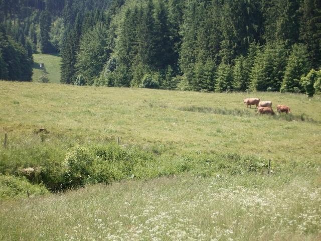
Von Frauenwald Richtung Allzunah und weiter auf dem Rennsteig bis Neustadt bzw. Kahlert. Dann rechts abbiegen und Waldtrail/Schotterweg Richtung Stausse abfahren. Dem Stauseerundweg folgen bis Aussichtspunkt "Schleusenmauer". Rechts über Wiesen/Waldweg hinauf bis zum 5-armigen Wegweiser. Weiter der Straße/Waldweg Richtung Frauenwald folgen. Auf freiem Feld links Richtung Fraubachtal-Cafe. Von dort Auffahrt nach Frauenwald.   

Tour gallery

Tour map and elevation profile

  • Open Street Map
  • Google
Minimum height 537 m Maximum height 844 m Detailed view

More about the tour author

feilenfritz
Member since 2008

Send private message

Comments

GPS tracks

Trackpoints
  • GPX / Garmin Map Source (gpx) download
  • TCX / Garmin Training Center® (tcx) download
  • CRS / Garmin Training Center® (crs) download
  • Google Earth (kml) download
  • G7ToWin (g7t) download
  • TTQV (trk) download
  • Overlay (ovl) download
  • Fugawi (txt) download
  • Kompass (DAV) Track (tk) download
  • Track data sheet (pdf) download
  • Original file of the author (gpx) download

More about the tour author

feilenfritz
Member since 2008

Send private message
Share track
Add to my favorites
Remove from my favorites
Edit tags
My score
Rate
Track: Rund um die Talsperre Schönbrunn
Type: Mountain bike
Distance: 37,2 km
Evaluated on:
Duration:
Day(s)
Hour(s)
Minute(s)
Score: Landscape Fun factor Fitness Technique