Login

Forgot your login?

Cookies have to be accepted!
Your browser's cookie functionality is disabled. Please enable this functionality.

Not a member yet?

Register now
Login

Available for registred users only

Log in to use this feature.

Forgot your login?

Cookies have to be accepted!
Your browser's cookie functionality is disabled. Please enable this functionality.

Not a member yet?

Register now
Filter
Categories
Advanced filters
  • Distance (km)
  • Height
Save filters Reset filter

TrackRank

QRCode

Technical data

Distance30,0 km Height46 m Way down50 m Duration02:21 h:m Date29.01.2006
Scores Author Landscape Fun factor Fitness Technique

Statistics

473 Views Scores 29 Downloads Average
Rate
  • Track data sheet
  • Directions
  • Downloads
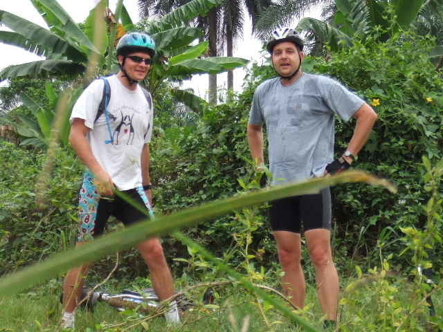
An easy but very scenic tour. Nice paths which are not boring and not too narrow. We enjoyed every bit of it. I had the luck to even spot two small black mambas who were near some fresh rubber pots. Wonder if those snakes like rubber. This is definately a tour to do again the same way.

Tour gallery

Tour map and elevation profile

  • Open Street Map
  • Google
Minimum height 19 m Maximum height 34 m Detailed view

More about the tour author

mrunte
Member since 2005

Country: Qatar

22 created tours
7
Send private message

Comments

This time we started at 13.00h on a Saturday. Same place (Intels Aba Road km16)

GPS tracks

Trackpoints
  • GPX / Garmin Map Source (gpx) download
  • TCX / Garmin Training Center® (tcx) download
  • CRS / Garmin Training Center® (crs) download
  • Google Earth (kml) download
  • G7ToWin (g7t) download
  • TTQV (trk) download
  • Overlay (ovl) download
  • Fugawi (txt) download
  • Kompass (DAV) Track (tk) download
  • Track data sheet (pdf) download
  • Original file of the author (gpx) download

More about the tour author

mrunte
Member since 2005

Country: Qatar

22 created tours
7
Send private message
Share track
Add to my favorites
Remove from my favorites
Edit tags
My score
Rate
Track: Bike Hash 013 - Port Harcourt "Obigbo Flowstation"
Type: Mountain bike
Distance: 30,0 km
Evaluated on:
Duration:
Day(s)
Hour(s)
Minute(s)
Score: Landscape Fun factor Fitness Technique