


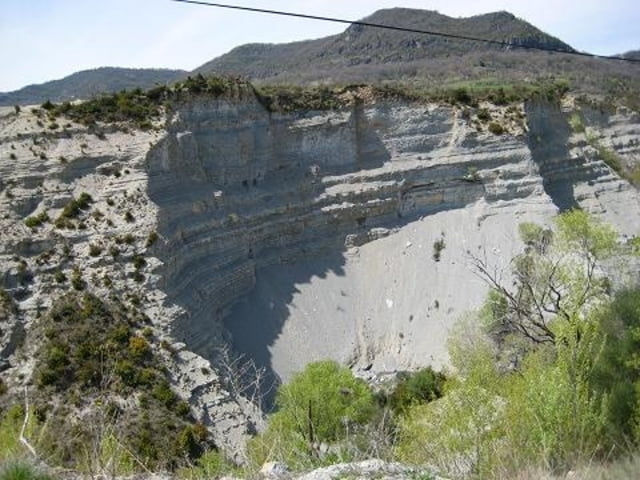
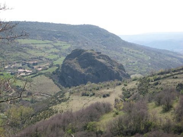
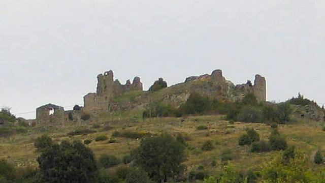
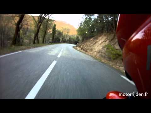
This adventurous route follows small, narrow roads and takes you to a few special villages, like Sceautres, Alba-la-Romaine, Mirabel and Beauchastel. The route runs through the eastern part of the Ardeche. The southern part runs through the area Plateau du Coiron, hence the name.
---
Deze avontuurlijke route voert over kleine, smalle wegen langs enkele bijzondere dorpjes en stadjes, waaronder Sceautres, Alba-la-Romaine, Mirabel en Beauchastel. De route loopt in het oosten van de Ardeche. De zuidelijke helft van de route voert door de streek Plateau du Coiron, vandaar de naam.
aan de D104.
---
Op www.motorrijden.fr kunt u deze track ook als route downloaden.
Further information at
http://www.motorrijden.frTour gallery

Tour map and elevation profile
Minimum height 99999 m
Maximum height -99999 m
More about the tour author

|
Rambling_man |
Comments

GPS tracks
Trackpoints-
GPX / Garmin Map Source (gpx) download
-
TCX / Garmin Training Center® (tcx) download
-
CRS / Garmin Training Center® (crs) download
-
Google Earth (kml) download
-
G7ToWin (g7t) download
-
TTQV (trk) download
-
Overlay (ovl) download
-
Fugawi (txt) download
-
Kompass (DAV) Track (tk) download
-
Track data sheet (pdf) download
-
Original file of the author (gpx) download
More about the tour author
|
|
Rambling_man |
Add to my favorites
Remove from my favorites
Edit tags
Open track
My score
Rate