


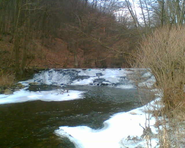
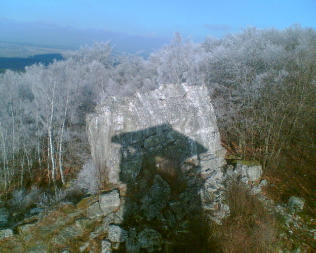
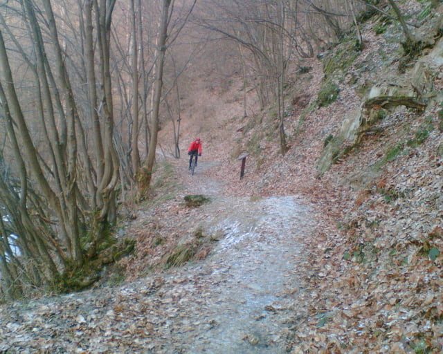
Die Tour startet in Rhaunen am Festplatz und führt über Feld- und Waldwege über Bollenbach; Reinhardsmühle; Schneppenbach; Teufelsfels; Schmidtburg; Bundenbach zurück nach Rhaunen. Bei den Feldwegen wurden immer die mit den größten Steigungen ausgesucht. Als Maximum zeigt mein Höhenmesser 21%.
Further information at
http://de.wikipedia.org/wiki/TeufelsfelsTour gallery

Tour map and elevation profile
Minimum height 258 m
Maximum height 573 m
More about the tour author
|
|
der_Hunsruecker |
Comments

BAB A61 Abfahrt Rheinböllen; B50 bis Flugplatz Hahn folgen, Richtung Rhaunen abbiegen.(ca 30 Min von der BAB-Startpunkt der Tour)
GPS tracks
Trackpoints-
GPX / Garmin Map Source (gpx) download
-
TCX / Garmin Training Center® (tcx) download
-
CRS / Garmin Training Center® (crs) download
-
Google Earth (kml) download
-
G7ToWin (g7t) download
-
TTQV (trk) download
-
Overlay (ovl) download
-
Fugawi (txt) download
-
Kompass (DAV) Track (tk) download
-
Track data sheet (pdf) download
-
Original file of the author (gpx) download
More about the tour author
|
|
der_Hunsruecker |
Add to my favorites
Remove from my favorites
Edit tags
Open track
My score
Rate