


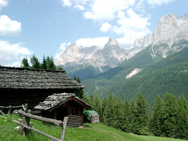
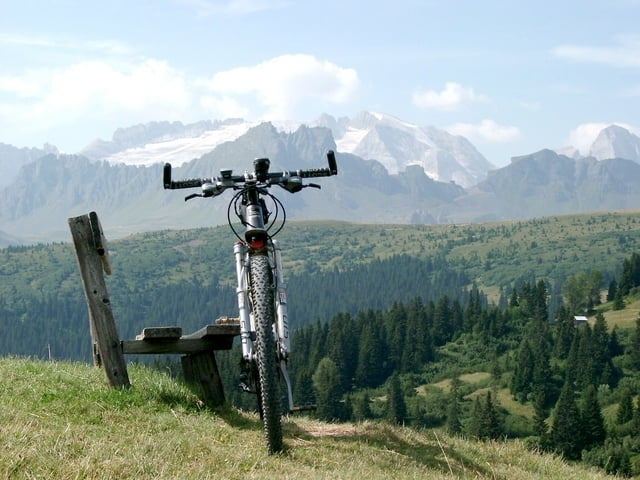
Transalp 2003
Oberstdorf -> Riva del Garda -> Oberstdorf
1250 km, 42.000 Höhenmeter
1. Tag: Oberstdorf - > Davos
Oberstdorf, Schroffenpass, Lechtal, Freiburger Hütte, Dalaas, Kristberg, Schruns, Schappiner Joch, Davos
2. Tag: Davos -> Monno
Davos, Scalettapass, Chasshaunapass, , Livigno, Passo Alpiselle, Passo di Ververva, Grosio, Passo dela Foppa, Mono
3. Tag: Monno -> Storo
Mono, Passo del Tonale, Dimaro, Madonna di Campiglio, Zuclo, Bonda, Storo,
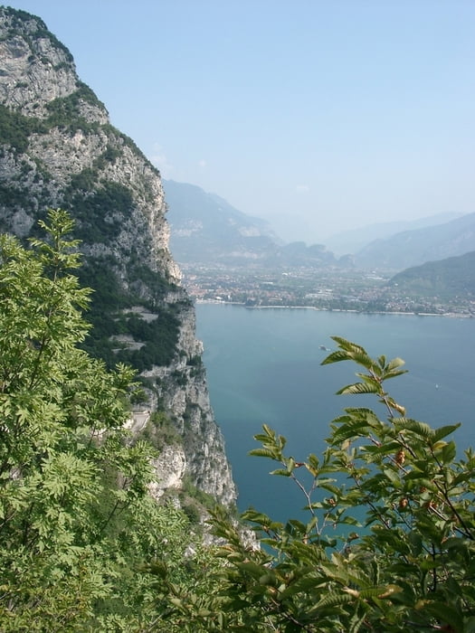
4. Tag: Storo -> "bei Geroli"
Storo, Passo Tremalzo, Riva del Garda, Santa Barbara, Roverteto, Malga Valli, Geroli
5. Tag: "bei Geroli" -> Spera
Forte Dosso d. Somme, Forte Luserna, Monte Verena, Bivio Italia, Rifugio Barricata, Spera
6. Tag Spera -> Maena
Passo 5 Croci, Passo Rolle, Passo di Lusia,
7. Tag Maena -> Rodeneck
Passo Pordoi, Pralongia, Fanes, Starkenfeldhütte, Rodeneck
8. Tag Rodeneck -> St. Jadock
St. Jadock, Pundererjoch, Fussendraß, Schlüsseljoch, Kreuzjoch, St. Jadock
9. Tag St. Jadock -> Wiesing
St. Jadock, Tuxer Joch, Mayerhofen, Steinbergjoch, Pertisau, zurück nach Wiesing, weil in Pertisau Zimmer kompett ausgebucht
10. Tag Wiesing -> Oberstorf
Wiesing Richtung Pertisau, Plumsjoch, Eng, Hochalmsattel, Mittenwald, Ehrwalder Alm, Ehrwald, Oberstdorf
Further information at
http://www.dupper.de/index.php?page=transalp-2003Tour gallery

Tour map and elevation profile
Minimum height 66 m
Maximum height 2670 m
More about the tour author

|
TransalpX |
Comments

Nach Oberstdorf mit Auto oder Bahn. Bei Anfahrt mit dem Auto kurz vor Oberstdorf (Vorort) halten und Parken, da in Oberstdorf so gut wie keine Parkmöglichkeiten bestehen.
GPS tracks
Trackpoints-
GPX / Garmin Map Source (gpx) download
-
TCX / Garmin Training Center® (tcx) download
-
CRS / Garmin Training Center® (crs) download
-
Google Earth (kml) download
-
G7ToWin (g7t) download
-
TTQV (trk) download
-
Overlay (ovl) download
-
Fugawi (txt) download
-
Kompass (DAV) Track (tk) download
-
Track data sheet (pdf) download
-
Original file of the author (gpx) download
More about the tour author
|
|
TransalpX |
Add to my favorites
Remove from my favorites
Edit tags
Open track
My score
Rate