Login

Forgot your login?

Cookies have to be accepted!
Your browser's cookie functionality is disabled. Please enable this functionality.

Not a member yet?

Register now
Login

Available for registred users only

Log in to use this feature.

Forgot your login?

Cookies have to be accepted!
Your browser's cookie functionality is disabled. Please enable this functionality.

Not a member yet?

Register now
Filter
Categories
Advanced filters
  • Distance (km)
  • Height
Save filters Reset filter

TrackRank

QRCode

Technical data

Distance105,7 km Height644 m Way down646 m Duration04:00 h:m Date04.01.2009
Scores Author Landscape Fun factor Fitness Technique

Statistics

185 Views Scores 32 Downloads Average
Rate
  • Track data sheet
  • Directions
  • Downloads
Die ist eine schöne Rundreise zum Meer und von dort aus in die Berge. Es ist ein schönes Gefühl erst runter zum Meer zu fahren und anschiessend sich alles von Oben anzuschauen (Sicht von den Bergen aus).
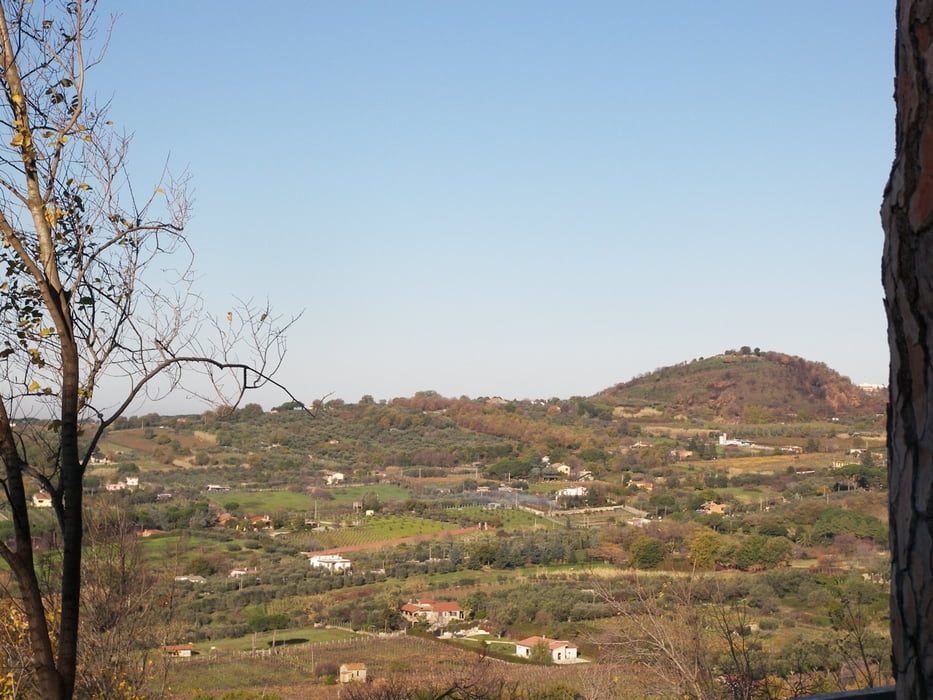
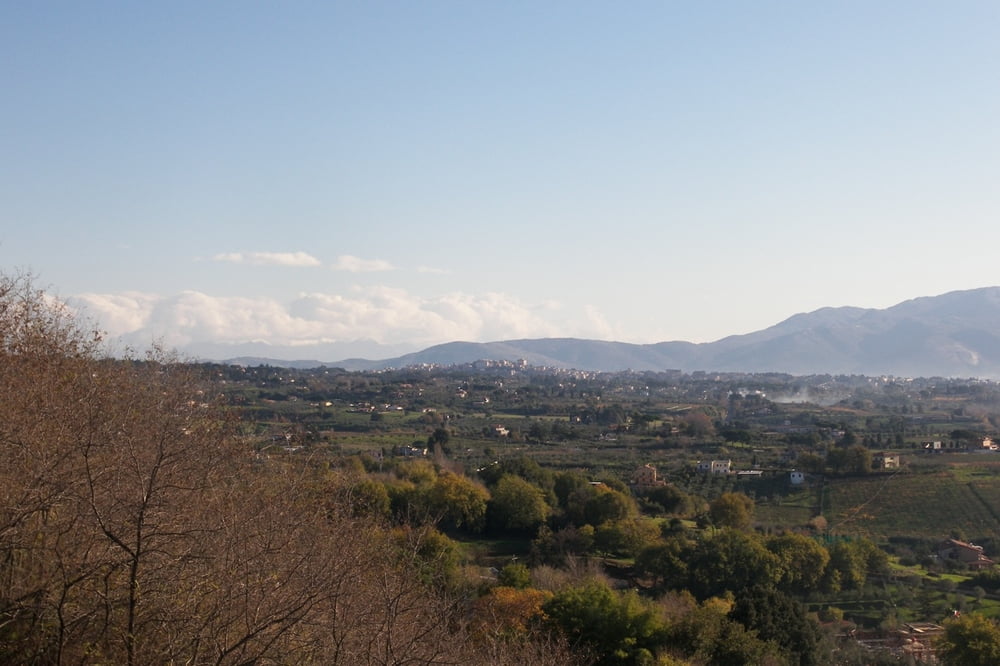
Tour gallery

Tour map and elevation profile

  • Open Street Map
  • Google
Minimum height -2 m Maximum height 466 m Detailed view

More about the tour author

tlorenz
Member since 2007

Send private message

Comments

GPS tracks

Trackpoints
  • GPX / Garmin Map Source (gpx) download
  • TCX / Garmin Training Center® (tcx) download
  • CRS / Garmin Training Center® (crs) download
  • Google Earth (kml) download
  • G7ToWin (g7t) download
  • TTQV (trk) download
  • Overlay (ovl) download
  • Fugawi (txt) download
  • Kompass (DAV) Track (tk) download
  • Track data sheet (pdf) download
  • Original file of the author (gpx) download

More about the tour author

tlorenz
Member since 2007

Send private message
Share track
Add to my favorites
Remove from my favorites
Edit tags
My score
Rate
Track: Über Ostia nach Lanuvio
Type: Road biking
Distance: 105,7 km
Evaluated on:
Duration:
Day(s)
Hour(s)
Minute(s)
Score: Landscape Fun factor Fitness Technique