


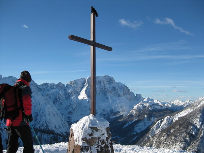
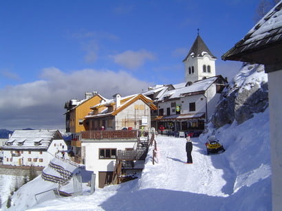
Vom Parkplatz richtung Süden die Forststrasse, Weg 613, den "Pilgerweg" folgen. Nach ca. 01:30 erreicht man die Almen der M.ga.di Lussari 1573 m. Rechts weiter nach Westen. Bei der Höhe 1715 m trifft man auf den Weg 617, der vom Seiseratal kommt und folgt diesen. Nach ca. 10 min erreicht man das Ziel, Monte Santo di Lussari 1789 m. Nach einer Stärkung in einem der Wirtschaften, wählt man die Abfahrt über den Aufstiegsweg, oder über die Piste zum Ausgangspunkt. Achtung, im unteren Pistenteil rechts Abzweigen, um direkt zum Ausgangspunkt zu gelangen.
Tour gallery

Tour map and elevation profile
Minimum height 848 m
Maximum height 1793 m
More about the tour author
|
|
weri |
Comments

Von Österreich kommend auf der A2 oder B83 nach Tarvis. Weiter der SS 13 Via Alpi Giulie bis kurz vorm Kreisverkehr Camporosso in Valcanale. Links die Via Lussari bis zum Kraftwerk. Hier querren die Skipisten von Tarvis und Luschari. Ausreichend Parkplatz vorhanden.
GPS tracks
Trackpoints-
GPX / Garmin Map Source (gpx) download
-
TCX / Garmin Training Center® (tcx) download
-
CRS / Garmin Training Center® (crs) download
-
Google Earth (kml) download
-
G7ToWin (g7t) download
-
TTQV (trk) download
-
Overlay (ovl) download
-
Fugawi (txt) download
-
Kompass (DAV) Track (tk) download
-
Track data sheet (pdf) download
-
Original file of the author (gpx) download
More about the tour author
|
|
weri |
Add to my favorites
Remove from my favorites
Edit tags
Open track
My score
Rate