


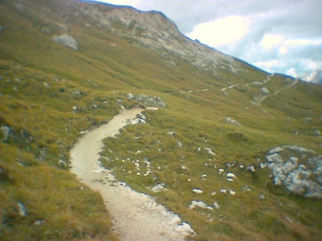
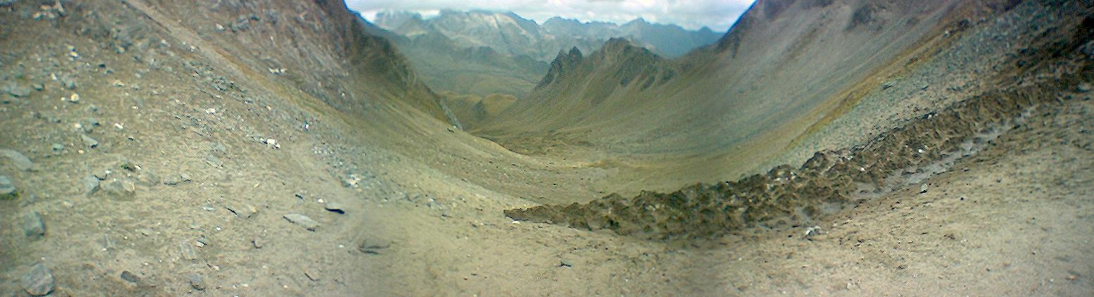
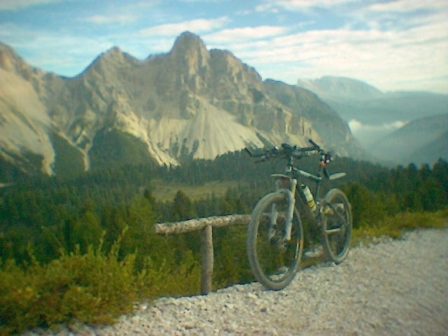
Transalp 2005
Tegernsee -> Dolomitten -> Tegernsee

Further information at
http://www.dupper.de/index.php?page=transalp-2005Tour gallery

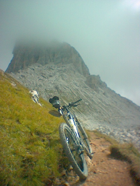
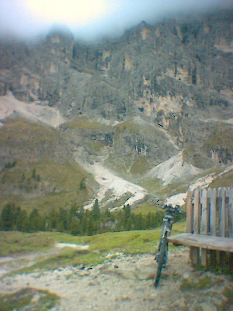
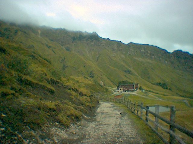
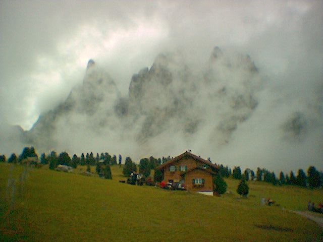
Tour map and elevation profile
Minimum height 246 m
Maximum height 2609 m
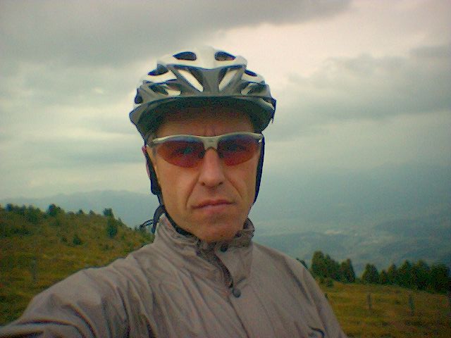
More about the tour author

|
TransalpX |
Comments

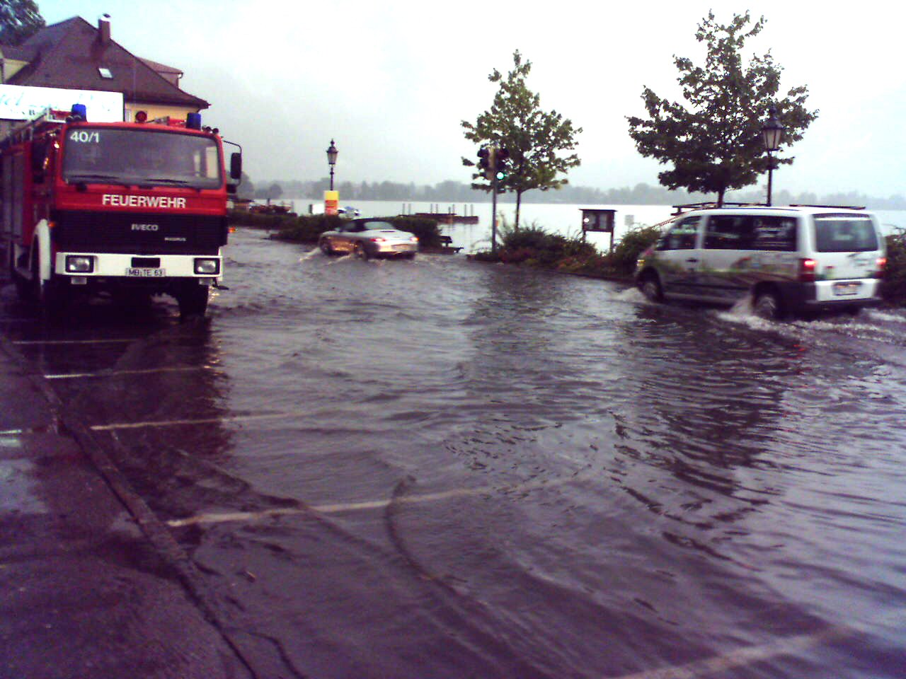
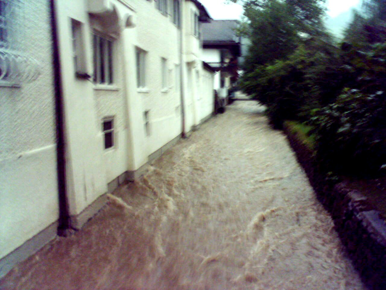
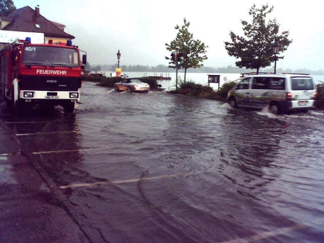
Anfahrt an den Tegernsee mit Auto oder Bahn.
GPS tracks
Trackpoints-
GPX / Garmin Map Source (gpx) download
-
TCX / Garmin Training Center® (tcx) download
-
CRS / Garmin Training Center® (crs) download
-
Google Earth (kml) download
-
G7ToWin (g7t) download
-
TTQV (trk) download
-
Overlay (ovl) download
-
Fugawi (txt) download
-
Kompass (DAV) Track (tk) download
-
Track data sheet (pdf) download
-
Original file of the author (gpx) download
More about the tour author
|
|
TransalpX |
Add to my favorites
Remove from my favorites
Edit tags
Open track
My score
Rate