Login

Forgot your login?

Cookies have to be accepted!
Your browser's cookie functionality is disabled. Please enable this functionality.

Not a member yet?

Register now
Login

Available for registred users only

Log in to use this feature.

Forgot your login?

Cookies have to be accepted!
Your browser's cookie functionality is disabled. Please enable this functionality.

Not a member yet?

Register now
Filter
Categories
Advanced filters
  • Distance (km)
  • Height
Save filters Reset filter

TrackRank

QRCode

Technical data

Distance10,6 km Height262 m Way down274 m Duration00:00 h:m Date11.01.2009
Scores Author User Landscape Fun factor Fitness Technique

Statistics

1055 Views 3 Scores 179 Downloads 5.00 Average
Rate
  • Track data sheet
  • Directions
  • Downloads

Rundwanderung, Start am Parkplatz Böllberg, siehe Wegpunkt.

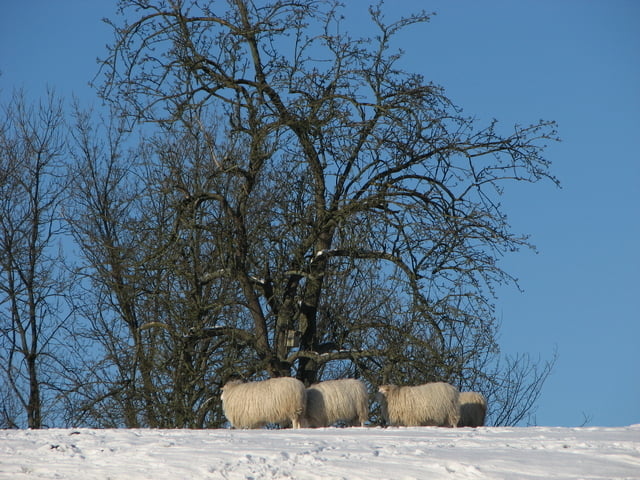
So viel Schnee ist selten, es macht zu jeder Jahreszeit Spass.

Tour gallery

Tour map and elevation profile

  • Open Street Map
  • Google
Minimum height 106 m Maximum height 240 m Detailed view

More about the tour author

Klaus Enke
Member since 2006

Send private message

Comments

tennisrs on 02.04.2009

Sind heute die Bommerholztour gegangen. War wirklich wunderschön. Herzlichen Dank für die Erstellung!
Chris1976 on 26.12.2011

Toller Rundwanderweg!

Abwechslungsreicher Weg in eindrucksvoller Landschaft! Aufgrund des Regenwetters der letzten Tage war der Weg teilweise recht matschig.
Strecke kann man insgesamt auch sicherlich gut zum Joggen nutzen.
Werden die Tour bei Schnee nochmal abwandern, da die Landschaft dann traumhaft aussehen wird.
Klaus, danke für den Track!
Grüße, Frauke und Christian aus Bochum

Siehe Wegpunkt.


GPS tracks

Trackpoints
  • GPX / Garmin Map Source (gpx) download
  • TCX / Garmin Training Center® (tcx) download
  • CRS / Garmin Training Center® (crs) download
  • Google Earth (kml) download
  • G7ToWin (g7t) download
  • TTQV (trk) download
  • Overlay (ovl) download
  • Fugawi (txt) download
  • Kompass (DAV) Track (tk) download
  • Track data sheet (pdf) download
  • Original file of the author (gpx) download

More about the tour author

Klaus Enke
Member since 2006

Send private message
Share track
Add to my favorites
Remove from my favorites
Edit tags
My score
Rate
Track: Wetter-Wengern
Type: Hiking
Distance: 10,6 km
Evaluated on:
Duration:
Day(s)
Hour(s)
Minute(s)
Score: Landscape Fun factor Fitness Technique