


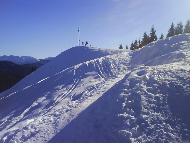
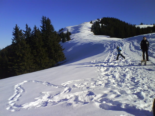
Vom Parkplatz der Piste bergauf folgen. An der Bergstation kann man je nach Schneelage auf das vordere Hörnle ( bei uns nicht der Fall, darum rechts vorbei auf Forstweg) dann knapp dahinter aufs mittlere Hörnle (oder links vorbei auf Forstweg) kurz bergab und dann wieder ca. 150 Hm bergauf zum hinteren Hörnle
Further information at
http://www.hoernlebahn.de/Tour gallery
Tour map and elevation profile
Minimum height 779 m
Maximum height 1548 m
More about the tour author
|
|
dDesign |
Comments

Von Augsburg in 1 Std 10 min zu erreichen: B17 dann B23 in Saulgrub an der Ampel links bis Bad Kohlgrub bis zum Parkplatz Hörnlebahn.
GPS tracks
Trackpoints-
GPX / Garmin Map Source (gpx) download
-
TCX / Garmin Training Center® (tcx) download
-
CRS / Garmin Training Center® (crs) download
-
Google Earth (kml) download
-
G7ToWin (g7t) download
-
TTQV (trk) download
-
Overlay (ovl) download
-
Fugawi (txt) download
-
Kompass (DAV) Track (tk) download
-
Track data sheet (pdf) download
-
Original file of the author (gpx) download
More about the tour author
|
|
dDesign |
Add to my favorites
Remove from my favorites
Edit tags
Open track
My score
Rate