Login

Forgot your login?

Cookies have to be accepted!
Your browser's cookie functionality is disabled. Please enable this functionality.

Not a member yet?

Register now
Login

Available for registred users only

Log in to use this feature.

Forgot your login?

Cookies have to be accepted!
Your browser's cookie functionality is disabled. Please enable this functionality.

Not a member yet?

Register now
Filter
Categories
Advanced filters
  • Distance (km)
  • Height
Save filters Reset filter

TrackRank

QRCode

Technical data

Distance6,9 km Height329 m Way down313 m Duration02:00 h:m Date17.01.2009
Scores Author Landscape Fun factor Fitness Technique

Statistics

394 Views Scores 69 Downloads Average
Rate
  • Track data sheet
  • Directions
  • Downloads

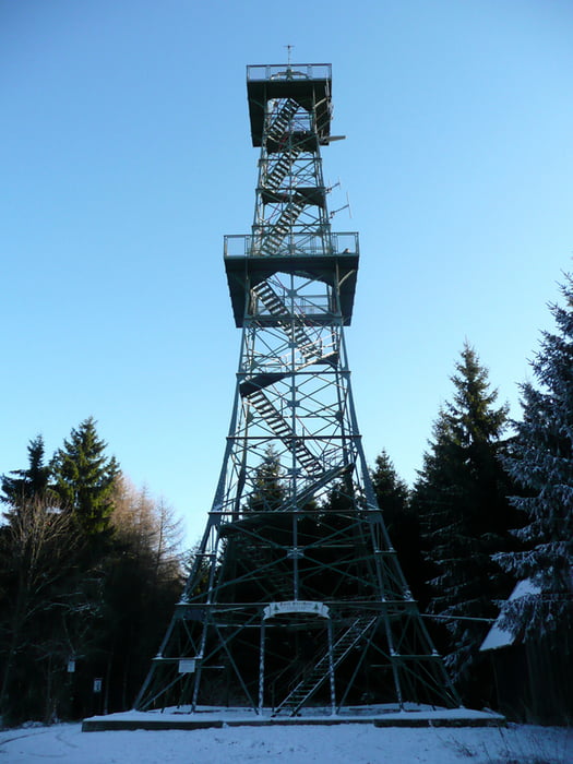
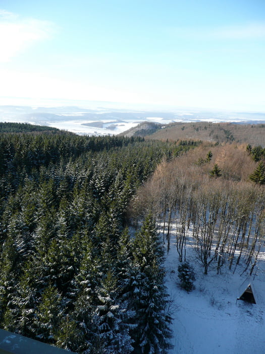
Die Runde geht von Ilfeld aus über den Falkenstein zum Poppenberg und über die Bielsteine zurück nach Ilfeld.

Die Tour sollte nur mit stabilem Schuhwerk gelaufen werden, da Teile des Weges schmal und rutschig sind. Kondition und Trittsicherheit sind auch erforderlich.

Tour gallery

Tour map and elevation profile

  • Open Street Map
  • Google
Minimum height 287 m Maximum height 614 m Detailed view

More about the tour author

Marko S
Member since 2007

Send private message

Comments

GPS tracks

Trackpoints
  • GPX / Garmin Map Source (gpx) download
  • TCX / Garmin Training Center® (tcx) download
  • CRS / Garmin Training Center® (crs) download
  • Google Earth (kml) download
  • G7ToWin (g7t) download
  • TTQV (trk) download
  • Overlay (ovl) download
  • Fugawi (txt) download
  • Kompass (DAV) Track (tk) download
  • Track data sheet (pdf) download
  • Original file of the author (gpx) download

More about the tour author

Marko S
Member since 2007

Send private message
Share track
Add to my favorites
Remove from my favorites
Edit tags
My score
Rate
Track: auf Trails zum Poppenberg
Type: Hiking
Distance: 6,9 km
Evaluated on:
Duration:
Day(s)
Hour(s)
Minute(s)
Score: Landscape Fun factor Fitness Technique