


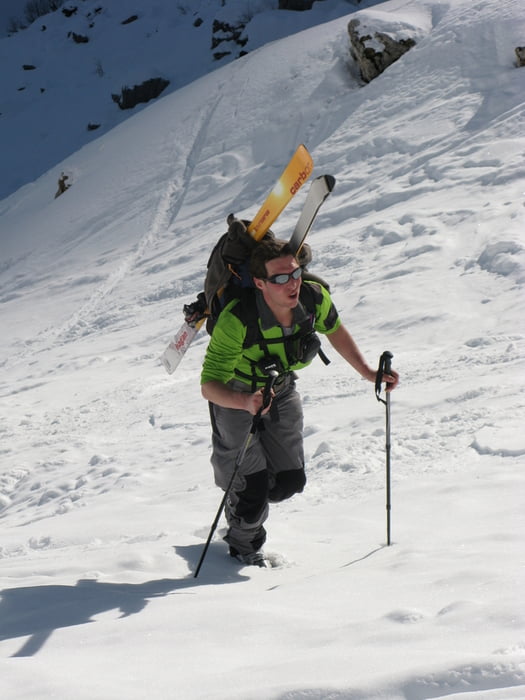
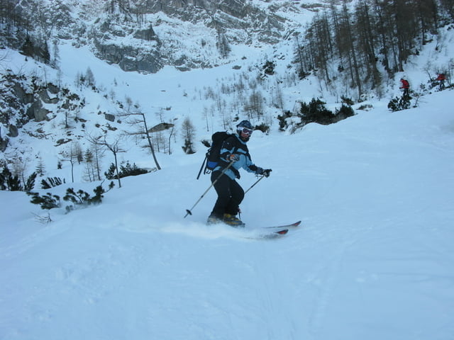
Der Aufstieg durch das Tortal folgt bis zum Tortal Niederleger einer Wirtschaftsstraße und ist ohne Probleme begehbar. Nach dem Niederleger zieht die Spur langsam an und wir immer steiler. Unterhalb des Hochlegers ist ein steilerer Hang emporzusteigen. Der harschige Untergrund erschwert hier das Aufsteigen erheblich. Oberhalb des Hochlegers ist es wieder angenehmer zu gehen. Wir sind als einzige heute von der Torscharte ins Rohntal abgefahren. Der Hang ging besser als erwartet und auch das Flachstück bei der Rohntalalm war zügig zu befahren.
Tour gallery

Tour map and elevation profile
Minimum height 923 m
Maximum height 1825 m
More about the tour author

|
killerpellet |
Comments

Von Lenggries über Fall am Sylvensteinspeicher entlang nach Hintteriß. Start ist der Parkplatz P2
GPS tracks
Trackpoints-
GPX / Garmin Map Source (gpx) download
-
TCX / Garmin Training Center® (tcx) download
-
CRS / Garmin Training Center® (crs) download
-
Google Earth (kml) download
-
G7ToWin (g7t) download
-
TTQV (trk) download
-
Overlay (ovl) download
-
Fugawi (txt) download
-
Kompass (DAV) Track (tk) download
-
Track data sheet (pdf) download
-
Original file of the author (gpx) download
More about the tour author
|
|
killerpellet |
Add to my favorites
Remove from my favorites
Edit tags
Open track
My score
Rate