


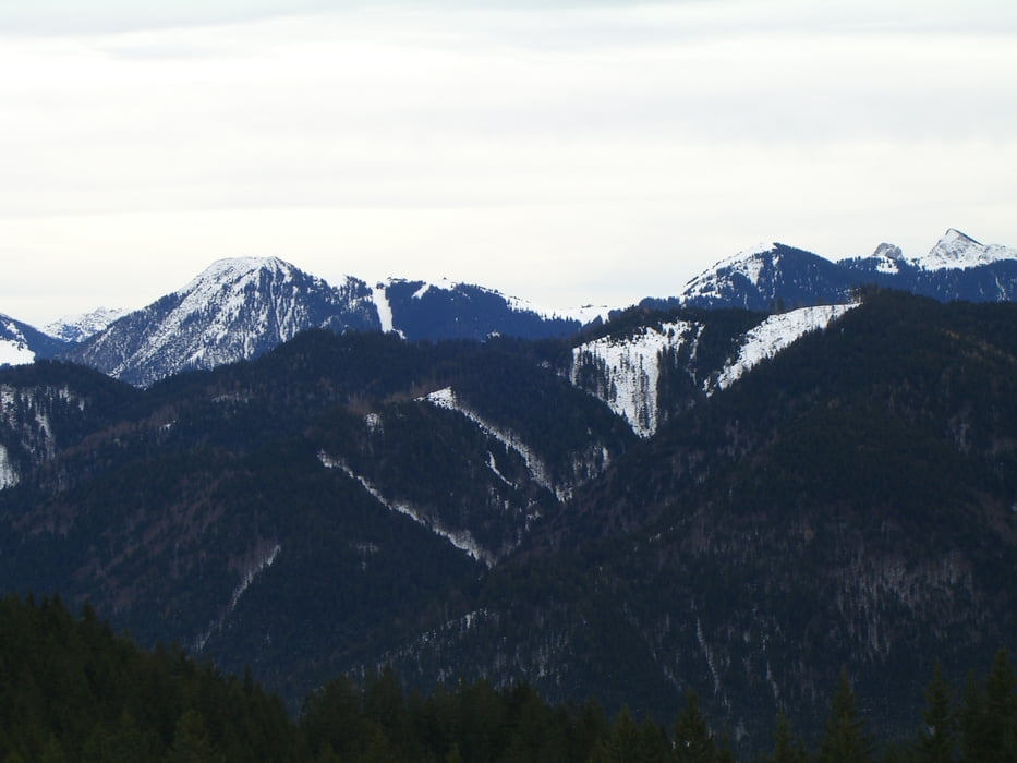
Eine leichte Wanderung auf die Aueralm, von der man einen wunderbaren Ausblick auf die Tegernseer Berge genießt.
Aufstieg zunächst im Söllbachtal, dann Abzweig zum Weg im Söllberg hinauf zur Aueralm. Von der Aueralm hat man einen prima Rundblick vom Wendelstein über Wallberg, Hirschberg zum Fockenstein. Abstieg etwas steiler durch das Zeiselbachtal zum Gasthaus Sonnbichl. Von dort weniger als 1 km über Teerstraßen zurück zum Parkplatz.
Einkehr: Aueralm
Further information at
http://www.aueralm.de/Tour gallery

Tour map and elevation profile
Minimum height 763 m
Maximum height 1268 m
More about the tour author
|
|
hps |
Comments

Von B 318 abbiegen Richtun Söllbachtal/Sonnbichl. An Weggabelung nach den ersten Häusern links halten, dann Parkplätze am Wegrand.
Alternativer Startpunkt: Wanderparkplatz am Gasthaus Sonnbichl
GPS tracks
Trackpoints-
GPX / Garmin Map Source (gpx) download
-
TCX / Garmin Training Center® (tcx) download
-
CRS / Garmin Training Center® (crs) download
-
Google Earth (kml) download
-
G7ToWin (g7t) download
-
TTQV (trk) download
-
Overlay (ovl) download
-
Fugawi (txt) download
-
Kompass (DAV) Track (tk) download
-
Track data sheet (pdf) download
-
Original file of the author (gpx) download
More about the tour author
|
|
hps |
Add to my favorites
Remove from my favorites
Edit tags
Open track
My score
Rate