
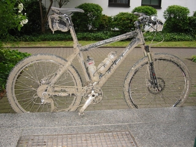

Kleine Runde von Baumberg über D-dorf/Urdenbach, Benrath, Langenfeld und zurück.
Nur Radwege keine Höhenmeter aber besser eine Stunde draußen als auf der "Rolle" vorm Fernseher ;-)
Tour map and elevation profile
Minimum height 22 m
Maximum height 59 m
More about the tour author
|
|
MTB007 |
Comments
GPS tracks
Trackpoints-
GPX / Garmin Map Source (gpx) download
-
TCX / Garmin Training Center® (tcx) download
-
CRS / Garmin Training Center® (crs) download
-
Google Earth (kml) download
-
G7ToWin (g7t) download
-
TTQV (trk) download
-
Overlay (ovl) download
-
Fugawi (txt) download
-
Kompass (DAV) Track (tk) download
-
Track data sheet (pdf) download
-
Original file of the author (gpx) download
More about the tour author
|
|
MTB007 |
Add to my favorites
Remove from my favorites
Edit tags
Open track
My score
Rate
Schöne kleine Runde
bin eben mal Deine kleine Runde gefahren. Ist echt Super als kleine Feierabendrunde. Geht ja auch schließlich bei mir vor der Tür vorbei. Ich werde die Runde mit meiner Posthornrunde demnächst mal kombinieren und dann hier als Posthorn XL einstellen. Bin schon auf Deine nächsten Runden gespannt. Die fehlenden drei werde ich auch noch abfahren. Rückmeldung natürlich inklusive.
Gruß Axel