


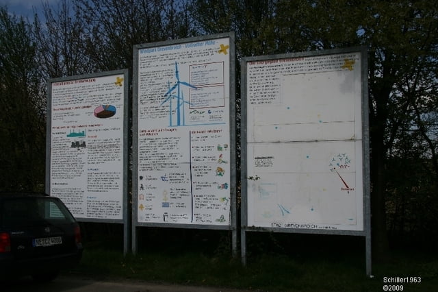
Eine Tour welche durch die Felder, Brüche und Höhen des Braunkohlereviers bei Grevenbroich führt. Höhepunkte ist Abraumhalte Vollrather Höhe, die mit einem stetigen Aufstieg oben einen Ausblick über den Windpark Grevenbroich eröffent. Bei schönem Wetter blickt man bis Köln, Mönchengladbach und noch weiter.
Further information at
http://www.schlossrheydt.de/Tour gallery


Tour map and elevation profile
Minimum height 32 m
Maximum height 166 m
More about the tour author
|
|
Schiller1963 |
Comments

Startpunkt: Schloß Rheydt bei Mönchengladbach
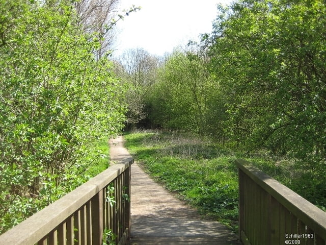
Es handelt sich um eine Rundtour. Die Strecke führt über festee Waldwege, kleine Landstraßen und befestigte Wirtschaftswege. Mit Auotverkehr kommt man kaum in Konflikt. Eine Tour zum Genießen.
GPS tracks
Trackpoints-
GPX / Garmin Map Source (gpx) download
-
TCX / Garmin Training Center® (tcx) download
-
CRS / Garmin Training Center® (crs) download
-
Google Earth (kml) download
-
G7ToWin (g7t) download
-
TTQV (trk) download
-
Overlay (ovl) download
-
Fugawi (txt) download
-
Kompass (DAV) Track (tk) download
-
Track data sheet (pdf) download
-
Original file of the author (gpx) download
More about the tour author
|
|
Schiller1963 |
Add to my favorites
Remove from my favorites
Edit tags
Open track
My score
Rate