


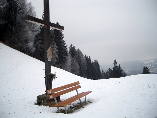
Einfache Tour für Schneeschuheinsteiger. Start beim Gemeindehaus in Buch, weiter erst auf Fahrstrasse bis zur Hochspannungsleitung. Nun bergwärts Richtung Schneiderspitze halten. Beim Aufstieg haben wir schöne Ausblicke zum Bregenzerwald und Allgäu. Beim Gipfelkreuz bietet sich eine Rast an. Der Rückweg geht am Waldrand entlang bis zum Skilift. Hier bewegen wir uns am Rand der Piste und teils auf Waldweg zurück nach Buch.
Further information at
http://www.vorarlberg.comTour gallery
Tour map and elevation profile
Minimum height 736 m
Maximum height 958 m
More about the tour author
|
|
Bockrider |
Comments

Wolfurt, Kennelbach nach Buch. Oder auf der Bregenzerwälderstrasse nach Alberschwende und links ab nach Buch. Start und Parkmöglichkeit beim Gemeindehaus in Buch.
GPS tracks
Trackpoints-
GPX / Garmin Map Source (gpx) download
-
TCX / Garmin Training Center® (tcx) download
-
CRS / Garmin Training Center® (crs) download
-
Google Earth (kml) download
-
G7ToWin (g7t) download
-
TTQV (trk) download
-
Overlay (ovl) download
-
Fugawi (txt) download
-
Kompass (DAV) Track (tk) download
-
Track data sheet (pdf) download
-
Original file of the author (gpx) download
More about the tour author
|
|
Bockrider |
Add to my favorites
Remove from my favorites
Edit tags
Open track
My score
Rate