Login

Forgot your login?

Cookies have to be accepted!
Your browser's cookie functionality is disabled. Please enable this functionality.

Not a member yet?

Register now
Login

Available for registred users only

Log in to use this feature.

Forgot your login?

Cookies have to be accepted!
Your browser's cookie functionality is disabled. Please enable this functionality.

Not a member yet?

Register now
Filter
Categories
Advanced filters
  • Distance (km)
  • Height
Save filters Reset filter

TrackRank

QRCode

Technical data

Distance34,5 km Height2186 m Way down2208 m Duration00:13 h:m Date04.02.2009
Scores Author Landscape Fun factor Fitness Technique

Statistics

1016 Views Scores 17 Downloads Average
Rate
  • Track data sheet
  • Directions
  • Downloads
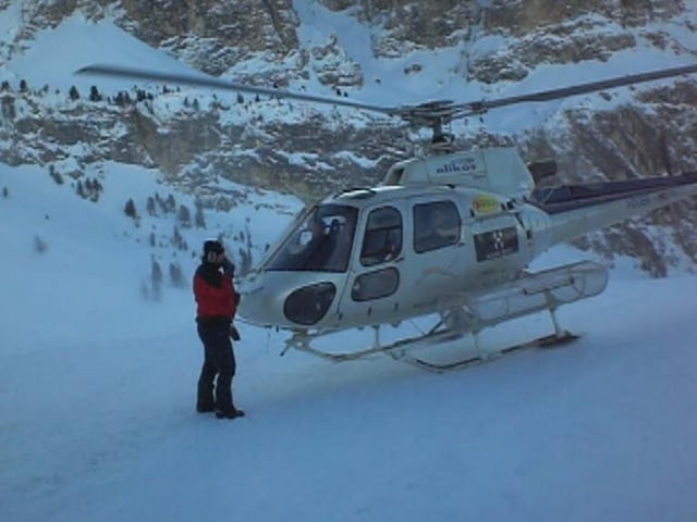
Der Hubschrauberflug beginnt am Grödner Joch und führt zunächst zum Langkofel. Nach einer Umrundung des Plattkofels und des Überflugs vom Langkofel geht es weiter Richtung Sella Stock über das Mittagstal bis zum Vallon. Der Rückflug führt erneut über das Mittagstal und die Pisciadùhütte zurück zum Grödner Joch.

Tour gallery

Tour map and elevation profile

  • Open Street Map
  • Google
Minimum height 2033 m Maximum height 3321 m Detailed view

More about the tour author

Glimworm

Comments

GPS tracks

Trackpoints
  • GPX / Garmin Map Source (gpx) download
  • TCX / Garmin Training Center® (tcx) download
  • CRS / Garmin Training Center® (crs) download
  • Google Earth (kml) download
  • G7ToWin (g7t) download
  • TTQV (trk) download
  • Overlay (ovl) download
  • Fugawi (txt) download
  • Kompass (DAV) Track (tk) download
  • Track data sheet (pdf) download
  • Original file of the author (gpx) download

More about the tour author

Glimworm

Share track
Add to my favorites
Remove from my favorites
Edit tags
My score
Rate
Track: Hubschrauberflug: Gröderjoch - Langkofel - Sella
Type: Paragliding and hang gliding
Distance: 34,5 km
Evaluated on:
Duration:
Day(s)
Hour(s)
Minute(s)
Score: Landscape Fun factor Fitness Technique