


Die Tour beginnt am Sessellift auf ca. 1400m NN, und verläuft unterhalb des Lifts bis zu dessen Bergstation (ca. 1800m NN), dort hält man sich links und erreicht über kurzes Geröll die langen Schneefelder. Der Abstieg kann durch Abrutschen auf dem Hosenboden erheblich verkürzt werden!
Tour gallery
Tour map and elevation profile
Minimum height 1399 m
Maximum height 2862 m
More about the tour author

|
Toaster |
Comments

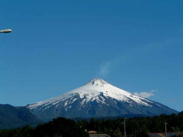
Technisch einfache Besteigung des 2850m hohen, aktiven Vulkans. Steigeisen und Pickel werden von der Parkverwaltung CONAF vorgeschriebene, ebenso entsprechende Erfahrung. Alternativ kann man sich in Pucon einer der zahlreichen geführten Touren anschließen.
GPS tracks
Trackpoints-
GPX / Garmin Map Source (gpx) download
-
TCX / Garmin Training Center® (tcx) download
-
CRS / Garmin Training Center® (crs) download
-
Google Earth (kml) download
-
G7ToWin (g7t) download
-
TTQV (trk) download
-
Overlay (ovl) download
-
Fugawi (txt) download
-
Kompass (DAV) Track (tk) download
-
Track data sheet (pdf) download
-
Original file of the author (gpx) download
More about the tour author
|
|
Toaster |
Add to my favorites
Remove from my favorites
Edit tags
Open track
My score
Rate