Login

Forgot your login?

Cookies have to be accepted!
Your browser's cookie functionality is disabled. Please enable this functionality.

Not a member yet?

Register now
Login

Available for registred users only

Log in to use this feature.

Forgot your login?

Cookies have to be accepted!
Your browser's cookie functionality is disabled. Please enable this functionality.

Not a member yet?

Register now
Filter
Categories
Advanced filters
  • Distance (km)
  • Height
Save filters Reset filter

TrackRank

QRCode

Technical data

Distance18,5 km Height1437 m Way down m Duration04:24 h:m Date18.02.2009
Scores Author Landscape Fun factor Fitness Technique

Statistics

459 Views Scores 52 Downloads Average
Rate
  • Track data sheet
  • Directions
  • Downloads

Aufstieg: 3Stunden 20Minuten

Abfahrt über Vorgipfl: 1Stunde 4Minuten
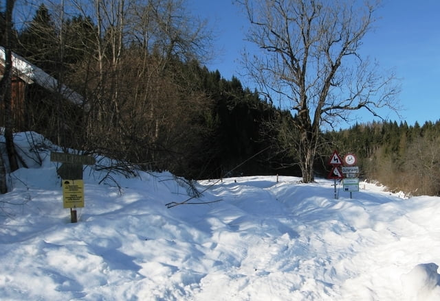
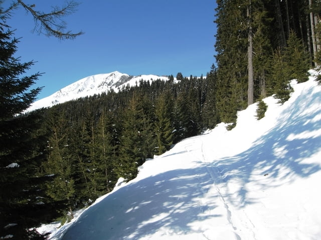
 

Tour gallery

Tour map and elevation profile

  • Open Street Map
  • Google
Minimum height 624 m Maximum height 2062 m Detailed view

More about the tour author

harald07071
Member since 2008

Send private message

Comments

Von der A2 bei der Abfahrt Hermagor abfahren auf die B111.

Bis nach Feistritz a.d.Gail  von dort noch 5 Minuten bis zum Ausganganspunkt.

GPS tracks

Trackpoints
  • GPX / Garmin Map Source (gpx) download
  • TCX / Garmin Training Center® (tcx) download
  • CRS / Garmin Training Center® (crs) download
  • Google Earth (kml) download
  • G7ToWin (g7t) download
  • TTQV (trk) download
  • Overlay (ovl) download
  • Fugawi (txt) download
  • Kompass (DAV) Track (tk) download
  • Track data sheet (pdf) download
  • Original file of the author (gpx) download

More about the tour author

harald07071
Member since 2008

Send private message
Share track
Add to my favorites
Remove from my favorites
Edit tags
My score
Rate
Track: Oisternig (2052m)
Type: Ski touring
Distance: 18,5 km
Evaluated on:
Duration:
Day(s)
Hour(s)
Minute(s)
Score: Landscape Fun factor Fitness Technique