

Brühl - Odenwald - Brühl
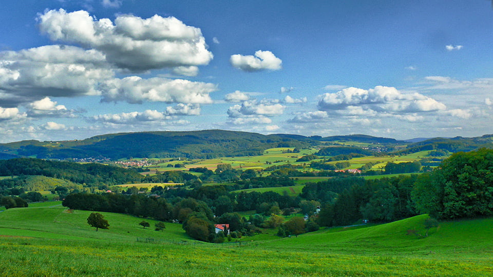
Die Tour führt größten Teils über Landstraßen, teilweise asphaltierte Wirtschaftswege und so weit es möglich ist über wenige stark befahrene Straßen. Der Odenwald ist Landschaftlich wunderschön und entschädigt mit seinen Blicken die bis zu 6-14% Steigungen.
Orte:
Brühl - Schwetzingen - Friedrichfeld - Neckarhausen - Ladenburg - Leutershausen - Großsachsen - Heiligkreuz - Rippenweiher - Ursenbach - Altenbach - Heiligkreuzsteinach - Schönau - Neckarsteinach - Neckargemünd - Bammental - Gaiberg - Leimen - Oftersheim - Brühl
Tour map and elevation profile
Minimum height 98 m
Maximum height 473 m
More about the tour author
|
|
ManiacRider |
Comments

GPS tracks
Trackpoints-
GPX / Garmin Map Source (gpx) download
-
TCX / Garmin Training Center® (tcx) download
-
CRS / Garmin Training Center® (crs) download
-
Google Earth (kml) download
-
G7ToWin (g7t) download
-
TTQV (trk) download
-
Overlay (ovl) download
-
Fugawi (txt) download
-
Kompass (DAV) Track (tk) download
-
Track data sheet (pdf) download
-
Original file of the author (gpx) download
More about the tour author
|
|
ManiacRider |
Add to my favorites
Remove from my favorites
Edit tags
Open track
My score
Rate