


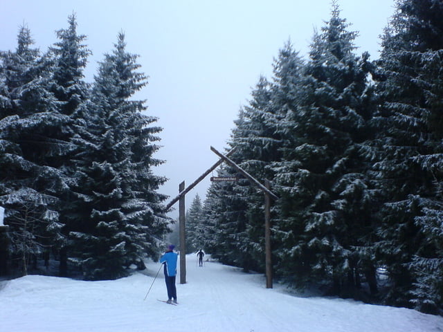
Klassik Runde ab Skizentrum Sonnenberg
Die Loipe umrundet den großen und kleinen Sonnenberg und den Rehberg mit wunderbaren Ausblicken aufs Odertal. Eine Rast empfiehlt sich im Rehberger Grabenhaus, mit dem - wie in fast allen Gasthäusern im Harz üblichen, aber nur anscheinend nahezu unfreundlichem Charme !
Der Track beinhaltet den Rundkurs Waage, der aber nach Querung der Straße nach St. Andreasberg am Internationalem Haus Sonnenberg, auch abgekürzt werden kann.
Auch beim letzten Abzweig kann die Schneewittchenloipe alternatv auch rechts gewählt werden und führt am Skihang entlang ebenfalls zurück. Die Rundkurse Schneewittchenloipe oder Waage können auch als kleine Tour für sich gelaufen werden.
Further information at
http://harz-ski.de/?site=sonnenberg.phpTour gallery

Tour map and elevation profile
Minimum height 635 m
Maximum height 808 m
More about the tour author

|
vorsicht-mal.de |
Comments

Start ist in Sonnenberg an der B242 / Abzweig St. Andreasberg (Parkplätze). Alternativ ab St. Andreasberg.
GPS tracks
Trackpoints-
GPX / Garmin Map Source (gpx) download
-
TCX / Garmin Training Center® (tcx) download
-
CRS / Garmin Training Center® (crs) download
-
Google Earth (kml) download
-
G7ToWin (g7t) download
-
TTQV (trk) download
-
Overlay (ovl) download
-
Fugawi (txt) download
-
Kompass (DAV) Track (tk) download
-
Track data sheet (pdf) download
-
Original file of the author (gpx) download
More about the tour author
|
|
vorsicht-mal.de |
Add to my favorites
Remove from my favorites
Edit tags
Open track
My score
Rate