Login

Forgotten password?

Cookies have to be accepted!
Your browser's cookie functionality is disabled. Please enable this functionality.

Not a member yet?

Register now
Login

Available for registred users only

Log in to use this feature.

Forgotten password?

Cookies have to be accepted!
Your browser's cookie functionality is disabled. Please enable this functionality.

Not a member yet?

Register now
Filter
Categories
Advanced filters
  • Distance (km)
  • Height
Save filters Reset filter

TrackRank

QRCode

Technical data

Distance129,3 km Height0 m Way down0 m Duration06:00 h:m Date02.03.2009
Scores Author Landscape Fun factor Fitness Technique

Statistics

1804 Views Scores 161 Downloads Average
Rate
  • Track data sheet
  • Directions
  • Downloads
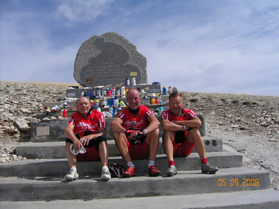
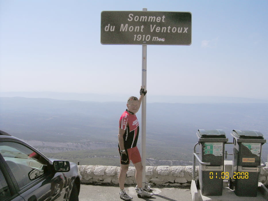
Diese Tour habe ich mit unserem Verein 2008 unternommen. Nur zu empfehlen bei gutem Wetter, wehe es ist windig und kalt! Genügend zu Trinken mitnehmen auf dieser Strecke gibt es sehr wenig Nachschub

Tour gallery

Tour map and elevation profile

  • Open Street Map
  • Google
Minimum height 99999 m Maximum height -99999 m Detailed view

More about the tour author

rannug
Member since 2009

Send private message

Comments

GPS tracks

Trackpoints
  • GPX / Garmin Map Source (gpx) download
  • TCX / Garmin Training Center® (tcx) download
  • CRS / Garmin Training Center® (crs) download
  • Google Earth (kml) download
  • G7ToWin (g7t) download
  • TTQV (trk) download
  • Overlay (ovl) download
  • Fugawi (txt) download
  • Kompass (DAV) Track (tk) download
  • Track data sheet (pdf) download
  • Original file of the author (gpx) download

More about the tour author

rannug
Member since 2009

Send private message
Share track
Add to my favorites
Remove from my favorites
Edit tags
My score
Rate
Track: Mont-Ventoux Süd-Auffahrt
Type: Road biking
Distance: 129,3 km
Evaluated on:
Duration:
Day(s)
Hour(s)
Minute(s)
Score: Landscape Fun factor Fitness Technique