Login

Forgot your login?

Cookies have to be accepted!
Your browser's cookie functionality is disabled. Please enable this functionality.

Not a member yet?

Register now
Login

Available for registred users only

Log in to use this feature.

Forgot your login?

Cookies have to be accepted!
Your browser's cookie functionality is disabled. Please enable this functionality.

Not a member yet?

Register now
Filter
Categories
Advanced filters
  • Distance (km)
  • Height
Save filters Reset filter

TrackRank

QRCode

Technical data

Distance20,6 km Height408 m Way down399 m Duration01:38 h:m Date07.03.2009
Scores Author Landscape Fun factor Fitness Technique

Statistics

770 Views 1 Score 186 Downloads 3.00 Average
Rate
  • Track data sheet
  • Directions
  • Downloads
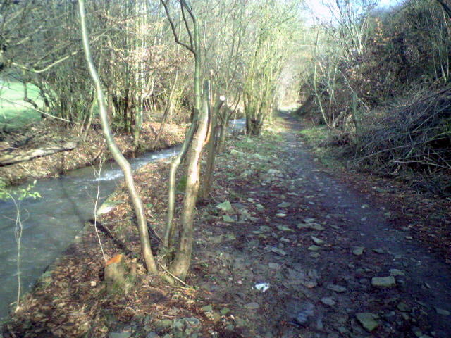
Kleiner Hinweis, im Sommer ist ein kleiner Abschnitt von ca. 300-400 Meter länge ab Km 2,5 Oberhesper nicht befahrbar (Brennesseln usw). Parallel rechts die Straße entlang fahren.
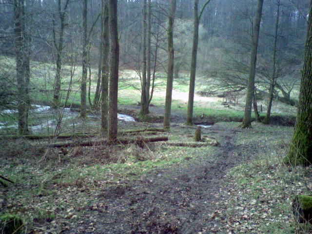
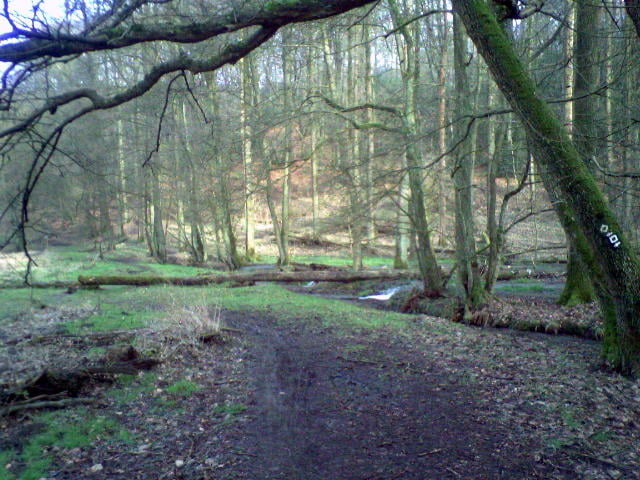
Tour gallery

Tour map and elevation profile

  • Open Street Map
  • Google
Minimum height 48 m Maximum height 215 m Detailed view

More about the tour author

Cheyenne
Member since 2008

Send private message

Comments

sayelf on 09.08.2009

Schöne Tour

...mit einigen kurzen Singletrails; allerdings im Sommer nicht zu empfehlen, da ein ca 300m langer Pfad komplett mit Brennesseln, Disteln und Dornen zugewuchert ist. Wie jucken uns noch 24h danach. ;-)
Wir sind gegen den Uhrzeiger gefahren, anders herum ist glaube ich schöner

Sorry, habe nicht bei der Erstellung der Tour dran gedacht!Hast ja recht im Sommmer nicht zu empfehlen,aber gut das du drauf hin gewiesen hast.Sorry nochmals für das Jucken.

GPS tracks

Trackpoints
  • GPX / Garmin Map Source (gpx) download
  • TCX / Garmin Training Center® (tcx) download
  • CRS / Garmin Training Center® (crs) download
  • Google Earth (kml) download
  • G7ToWin (g7t) download
  • TTQV (trk) download
  • Overlay (ovl) download
  • Fugawi (txt) download
  • Kompass (DAV) Track (tk) download
  • Track data sheet (pdf) download
  • Original file of the author (gpx) download

More about the tour author

Cheyenne
Member since 2008

Send private message
Share track
Add to my favorites
Remove from my favorites
Edit tags
My score
Rate
Track: Velbert-Kupferdreh-Toue
Type: Mountain bike
Distance: 20,6 km
Evaluated on:
Duration:
Day(s)
Hour(s)
Minute(s)
Score: Landscape Fun factor Fitness Technique