Login

Forgot your login?

Cookies have to be accepted!
Your browser's cookie functionality is disabled. Please enable this functionality.

Not a member yet?

Register now
Login

Available for registred users only

Log in to use this feature.

Forgot your login?

Cookies have to be accepted!
Your browser's cookie functionality is disabled. Please enable this functionality.

Not a member yet?

Register now
Filter
Categories
Advanced filters
  • Distance (km)
  • Height
Save filters Reset filter

TrackRank

QRCode

Technical data

Distance12,7 km Height1074 m Way down m Duration03:10 h:m Date11.03.2009
Scores Author Landscape Fun factor Fitness Technique

Statistics

540 Views Scores 75 Downloads Average
Rate
  • Track data sheet
  • Directions
  • Downloads

Aufstieg: 2 Stunden 25 Minuten

Abfahrt: 45 Minuten

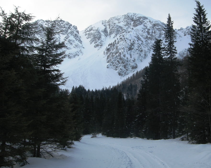
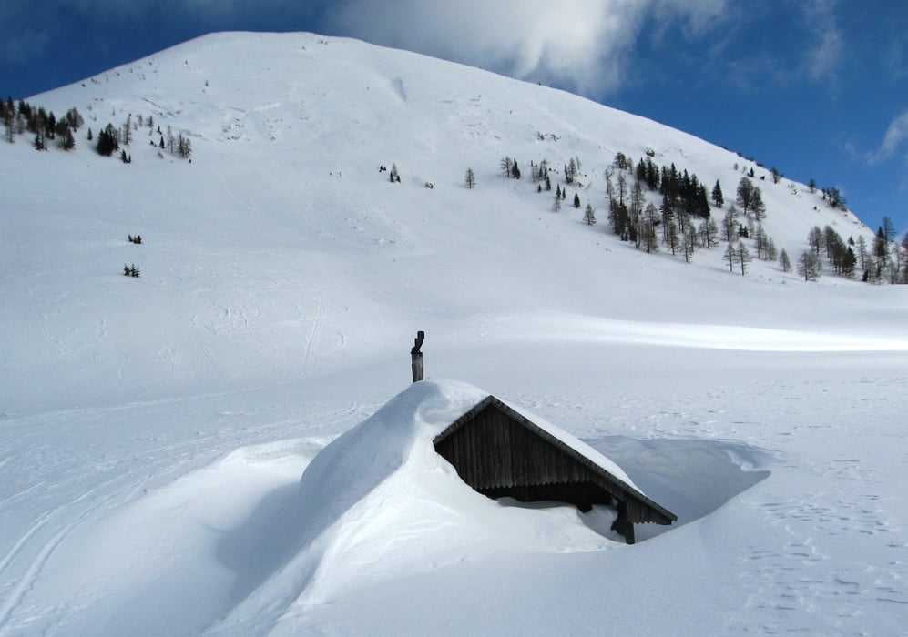
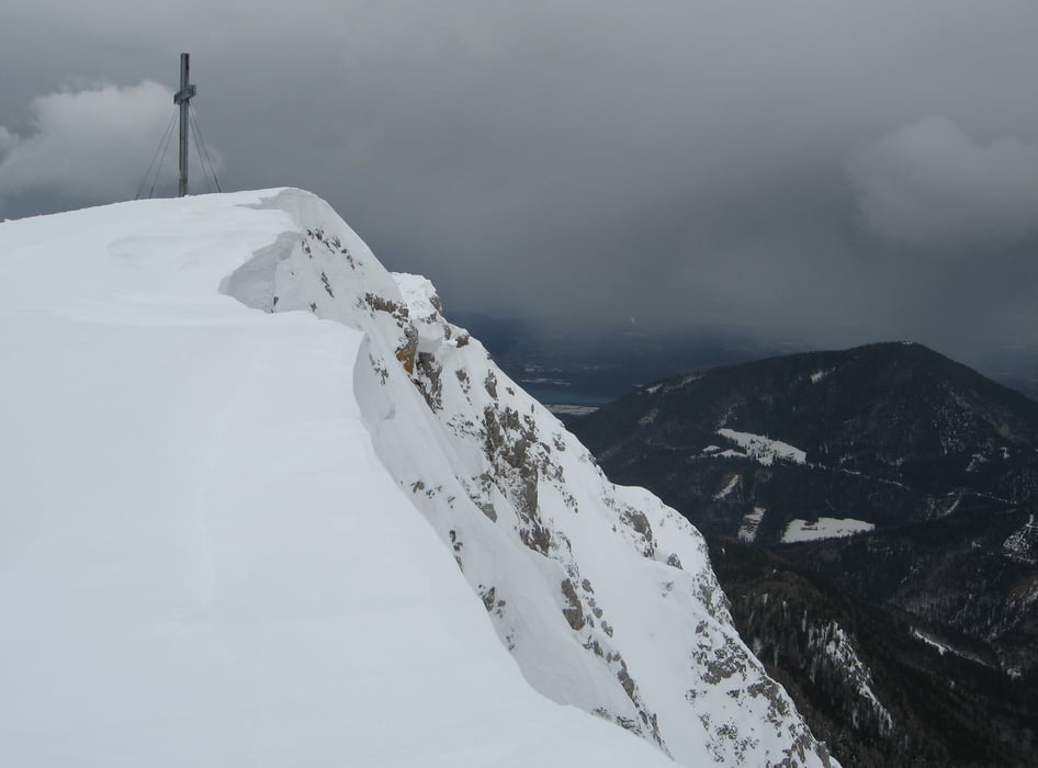
Von der Stouhütte über einen Forstweg zur Matschacher Alm, dann über die Westschulter zum Gipfel.

Tour gallery

Tour map and elevation profile

  • Open Street Map
  • Google
Minimum height 937 m Maximum height 2030 m Detailed view

More about the tour author

harald07071
Member since 2008

Send private message

Comments

Von Klagenfurt Richtung Loibelpass weiter Richtung Feistritz/Rosental dann links ins Bärental bis zur Stouhütte.

GPS tracks

Trackpoints
  • GPX / Garmin Map Source (gpx) download
  • TCX / Garmin Training Center® (tcx) download
  • CRS / Garmin Training Center® (crs) download
  • Google Earth (kml) download
  • G7ToWin (g7t) download
  • TTQV (trk) download
  • Overlay (ovl) download
  • Fugawi (txt) download
  • Kompass (DAV) Track (tk) download
  • Track data sheet (pdf) download
  • Original file of the author (gpx) download

More about the tour author

harald07071
Member since 2008

Send private message
Share track
Add to my favorites
Remove from my favorites
Edit tags
My score
Rate
Track: Kosiak (2024m)
Type: Ski touring
Distance: 12,7 km
Evaluated on:
Duration:
Day(s)
Hour(s)
Minute(s)
Score: Landscape Fun factor Fitness Technique