


Start in Oberkirch Bäckerei Geldreich
Von Oberkirch entlang des Renchdamms nach Lautenbach.
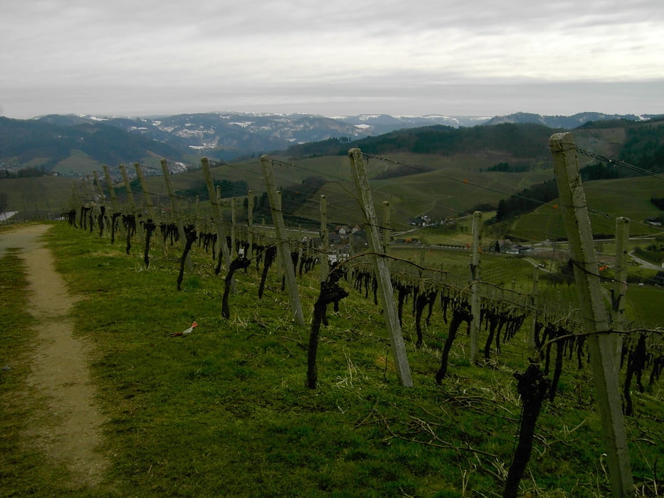
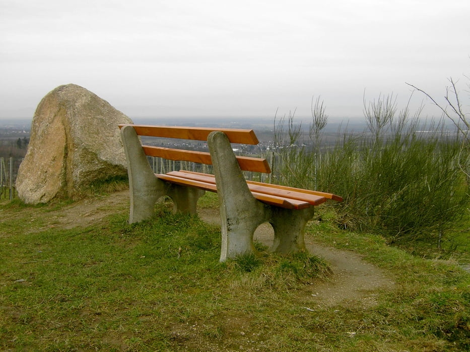
Lautenbach Richtung Ödsbach vor der Kirche rechts auf die Alm.Links abbiegen am Trimm Dich Pfad aufs Heuberger Eck. Anschließend Richtung Bottenau Maisenbühl.Kurz vor St. Wendel Richtung Herztal. Kurz vor Nußbach (Spielplatz) Richtung Schloß Staufenberg (Teilstrecke Ortenauer Weinpfad) dann über Münsterblickhütte > Bottenau zurück zum Ausgangspunkt der Tour.
INFO: Auf den Höhenlagen liegt z.Z. noch viel Schnee.Im Wald besteht z.T. Schneebruchgefahr von den Bäumen !!!!
Viel Spaß beim Nachfahren !!!
Bemerkungen:
Höhenmesser wurde bei ca. 19 km neu eingestellt,daher die große Abweichung.
Tour gallery
Tour map and elevation profile
Minimum height 180 m
Maximum height 1416 m
More about the tour author
|
|
ambaibiker |
Comments

GPS tracks
Trackpoints-
GPX / Garmin Map Source (gpx) download
-
TCX / Garmin Training Center® (tcx) download
-
CRS / Garmin Training Center® (crs) download
-
Google Earth (kml) download
-
G7ToWin (g7t) download
-
TTQV (trk) download
-
Overlay (ovl) download
-
Fugawi (txt) download
-
Kompass (DAV) Track (tk) download
-
Track data sheet (pdf) download
-
Original file of the author (gpx) download
More about the tour author
|
|
ambaibiker |
Add to my favorites
Remove from my favorites
Edit tags
Open track
My score
Rate