Login

Forgot your login?

Cookies have to be accepted!
Your browser's cookie functionality is disabled. Please enable this functionality.

Not a member yet?

Register now
Login

Available for registred users only

Log in to use this feature.

Forgot your login?

Cookies have to be accepted!
Your browser's cookie functionality is disabled. Please enable this functionality.

Not a member yet?

Register now
Filter
Categories
Advanced filters
  • Distance (km)
  • Height
Save filters Reset filter

TrackRank

QRCode

Technical data

Distance14,2 km Height1016 m Way down m Duration03:08 h:m Date18.03.2009
Scores Author Landscape Fun factor Fitness Technique

Statistics

1089 Views Scores 92 Downloads Average
Rate
  • Track data sheet
  • Directions
  • Downloads

Aufstieg: 2 Stunden 30 Minuten

Abfahrt: 38 Minuten

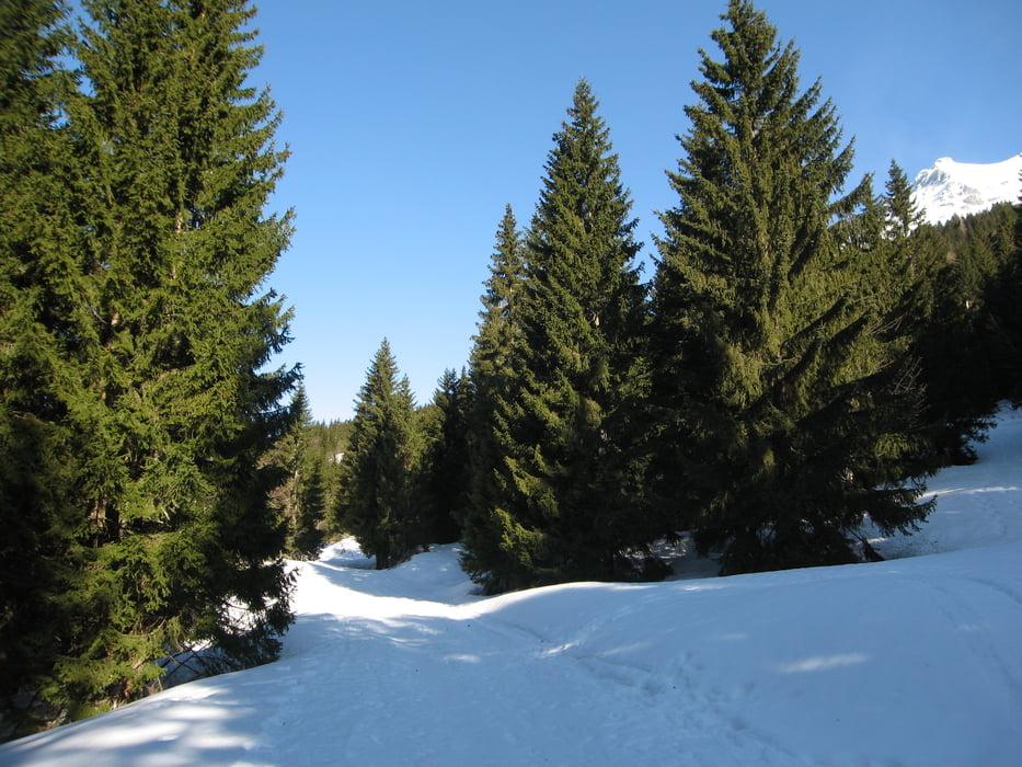
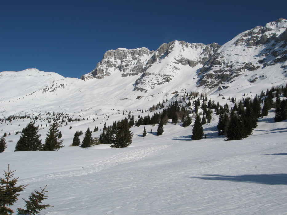
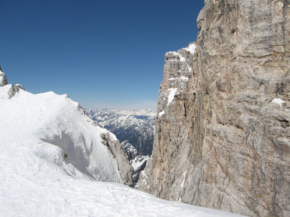
Von Sella Nevea folgt man eine Forststraße Richtung Pecol Alm.

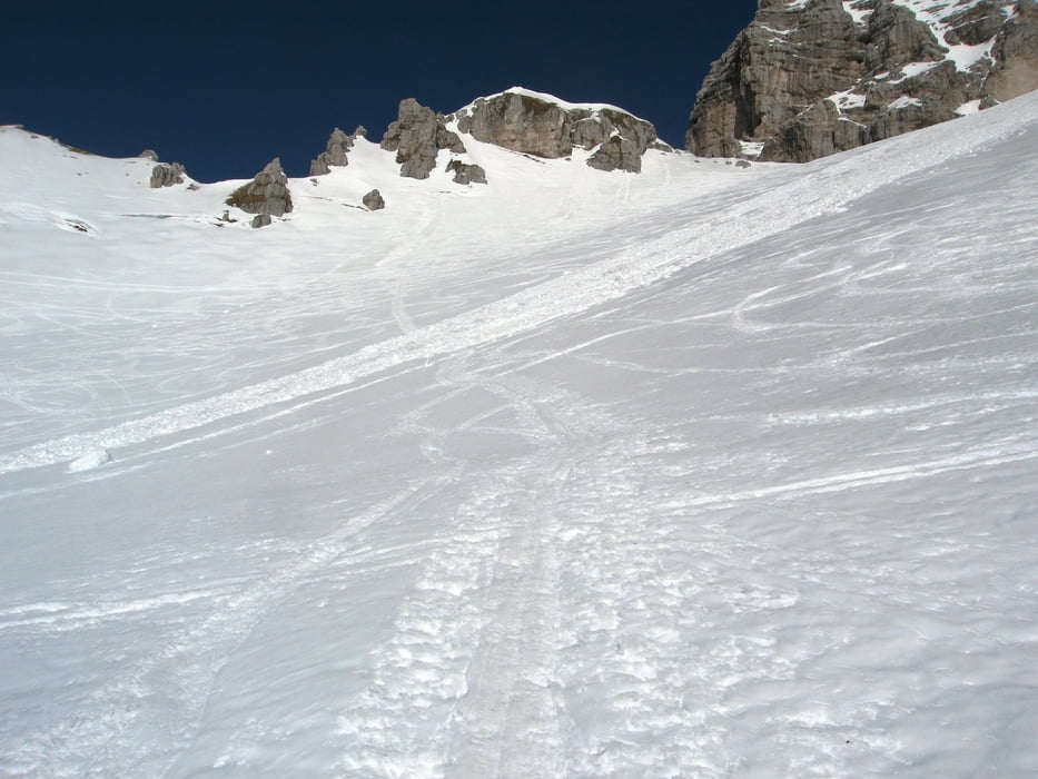
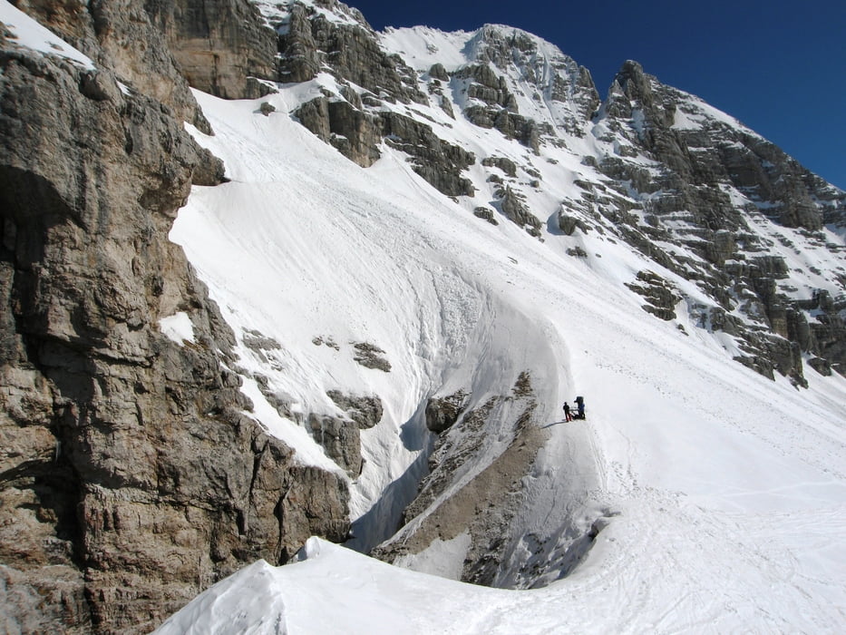
Dann vorbei am Rif.Brazza und nach einer längeren Querung Richtung Westen in die Scharte.

Tour gallery

Tour map and elevation profile

  • Open Street Map
  • Google
Minimum height 1148 m Maximum height 2219 m Detailed view

More about the tour author

harald07071
Member since 2008

Send private message

Comments

Von Tarvis aus nach Süden über die Ortschaft Cave del Predil bis auf den Sella Nevea.

GPS tracks

Trackpoints
  • GPX / Garmin Map Source (gpx) download
  • TCX / Garmin Training Center® (tcx) download
  • CRS / Garmin Training Center® (crs) download
  • Google Earth (kml) download
  • G7ToWin (g7t) download
  • TTQV (trk) download
  • Overlay (ovl) download
  • Fugawi (txt) download
  • Kompass (DAV) Track (tk) download
  • Track data sheet (pdf) download
  • Original file of the author (gpx) download

More about the tour author

harald07071
Member since 2008

Send private message
Share track
Add to my favorites
Remove from my favorites
Edit tags
My score
Rate
Track: Forca dei Disteis (2241m)
Type: Ski touring
Distance: 14,2 km
Evaluated on:
Duration:
Day(s)
Hour(s)
Minute(s)
Score: Landscape Fun factor Fitness Technique