Login

Forgot your login?

Cookies have to be accepted!
Your browser's cookie functionality is disabled. Please enable this functionality.

Not a member yet?

Register now
Login

Available for registred users only

Log in to use this feature.

Forgot your login?

Cookies have to be accepted!
Your browser's cookie functionality is disabled. Please enable this functionality.

Not a member yet?

Register now
Filter
Categories
Advanced filters
  • Distance (km)
  • Height
Save filters Reset filter

TrackRank

QRCode

Technical data

Distance68,3 km Height1514 m Way down1538 m Duration02:45 h:m Date22.03.2009
Scores Author Landscape Fun factor Fitness Technique

Statistics

237 Views Scores 45 Downloads Average
Rate
  • Track data sheet
  • Directions
  • Downloads

Die Tour startet in Immendorf und geht dann Arzbach über Bad Ems und wider nach Arzbach

Bei der Tour ist fast alles dabei besonders lange und steile Anstiege

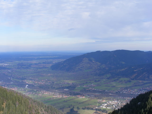
Tour map and elevation profile

  • Open Street Map
  • Google
Minimum height 71 m Maximum height 457 m Detailed view

More about the tour author

pitzwani
Member since 2009

Send private message

Comments

GPS tracks

Trackpoints
  • GPX / Garmin Map Source (gpx) download
  • TCX / Garmin Training Center® (tcx) download
  • CRS / Garmin Training Center® (crs) download
  • Google Earth (kml) download
  • G7ToWin (g7t) download
  • TTQV (trk) download
  • Overlay (ovl) download
  • Fugawi (txt) download
  • Kompass (DAV) Track (tk) download
  • Track data sheet (pdf) download
  • Original file of the author (gpx) download

More about the tour author

pitzwani
Member since 2009

Send private message
Share track
Add to my favorites
Remove from my favorites
Edit tags
My score
Rate
Track: Immendorf-Arzbach
Type: Mountain bike
Distance: 68,3 km
Evaluated on:
Duration:
Day(s)
Hour(s)
Minute(s)
Score: Landscape Fun factor Fitness Technique