


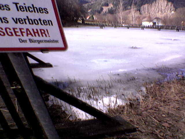
04.04.06 - Von Enzersdorf über Katzling und Winden nach Oberzeiring (es liegt noch Schnee!) - weiter nach St. Oswald. Über Pöls (Ehrenrunde bei meinen Schwiegereltern) und dem Bio-Badeteich (leider noch zugefroren) wieder retour nach Enzersdorf.
Further information at
http://www.poels.atTour gallery
Tour map and elevation profile
Minimum height 786 m
Maximum height 942 m
More about the tour author
|
|
exitus |
Comments

Von der Bezirksstadt Judenburg (Plz 8750) die B317 Richtung Süden. Nach ca. 3km rechts auf die B114 Richtung Trieben abbiegen. Weiter bis nach Pöls (Plz 8761) und gleich nach der Ortstafel links Richtung Enzersdorf.
GPS tracks
Trackpoints-
GPX / Garmin Map Source (gpx) download
-
TCX / Garmin Training Center® (tcx) download
-
CRS / Garmin Training Center® (crs) download
-
Google Earth (kml) download
-
G7ToWin (g7t) download
-
TTQV (trk) download
-
Overlay (ovl) download
-
Fugawi (txt) download
-
Kompass (DAV) Track (tk) download
-
Track data sheet (pdf) download
-
Original file of the author (gpx) download
More about the tour author
|
|
exitus |
Add to my favorites
Remove from my favorites
Edit tags
Open track
My score
Rate