Login

Forgot your login?

Cookies have to be accepted!
Your browser's cookie functionality is disabled. Please enable this functionality.

Not a member yet?

Register now
Login

Available for registred users only

Log in to use this feature.

Forgot your login?

Cookies have to be accepted!
Your browser's cookie functionality is disabled. Please enable this functionality.

Not a member yet?

Register now
Filter
Categories
Advanced filters
  • Distance (km)
  • Height
Save filters Reset filter

TrackRank

QRCode

Technical data

Distance130,9 km Height1298 m Way down1310 m Duration05:00 h:m Date05.04.2009
Scores Author Landscape Fun factor Fitness Technique

Statistics

916 Views Scores 366 Downloads Average
Rate
  • Track data sheet
  • Directions
  • Downloads

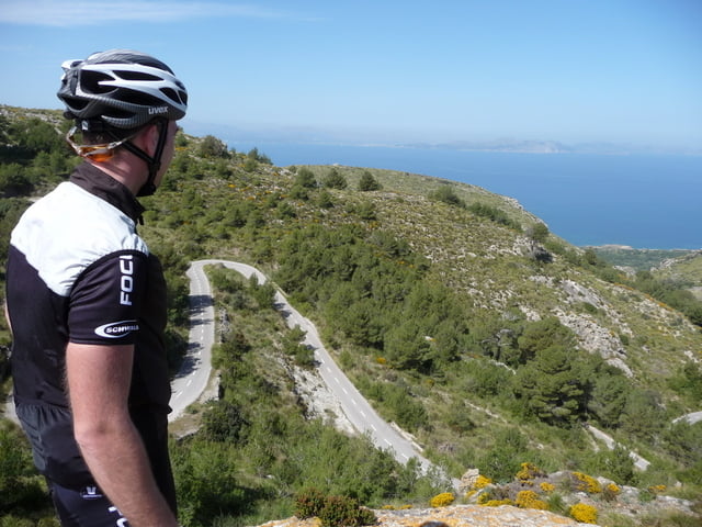
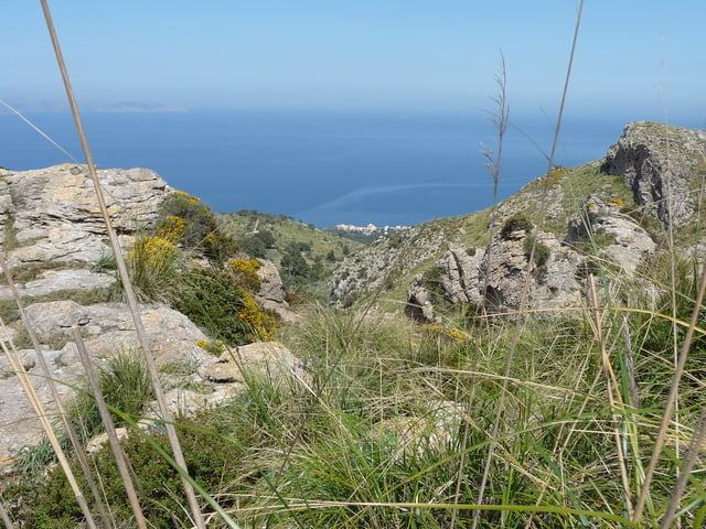
Super Tour mit beeindruckenden Blicken auf die Meeresküste. Vom Standort oberhalb von Betlehem kann man das Cap Formentor, die Bucht von Pollenca und die Bucht von Alcudia sehen!

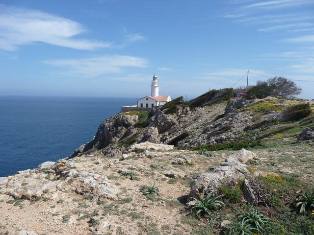
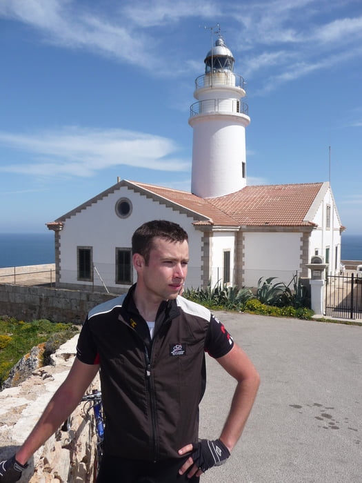
Ein weiterer Höhepunkt ist der Leuchtturm von Cala Ratjada.

Auf der Rückfahrt zum Ausgangspunkt gibt es mehrere Top-Speed Abfahrten.


Eine geniale Tour mit angenehmen Anstiegen, super Landschaft und Traumausblicken!!

Tour gallery

Tour map and elevation profile

  • Open Street Map
  • Google
Minimum height Maximum height 375 m Detailed view

More about the tour author

pille200
Member since 2008

Send private message

Comments

GPS tracks

Trackpoints
  • GPX / Garmin Map Source (gpx) download
  • TCX / Garmin Training Center® (tcx) download
  • CRS / Garmin Training Center® (crs) download
  • Google Earth (kml) download
  • G7ToWin (g7t) download
  • TTQV (trk) download
  • Overlay (ovl) download
  • Fugawi (txt) download
  • Kompass (DAV) Track (tk) download
  • Track data sheet (pdf) download
  • Original file of the author (gpx) download

More about the tour author

pille200
Member since 2008

Send private message
Share track
Add to my favorites
Remove from my favorites
Edit tags
My score
Rate
Track: Blick auf Fomentor, Bucht Pollenca und Bucht Alcudia
Type: Road biking
Distance: 130,9 km
Evaluated on:
Duration:
Day(s)
Hour(s)
Minute(s)
Score: Landscape Fun factor Fitness Technique