


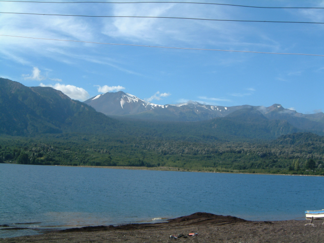
Wanderung vom Lago Todos los Santos zum Lago Rupanco durch dichten Regenwald mit heissen Quellen nach der ersten Tagesetappe. Der Ausgangspunkt liegt etwa 1.5-2 Bootsstunden von Petruhue entfernt. Da es keine offiziele Bootsverbingung gibt, muss man einen Fischer fragen, ob er den Transfer übernehmen möchte (Kosten ca. US$ 50). Weitere Infos:
Lonly Planet: Trekking in the Patagonian Andes,
Bruckmann: Trekking Guide Patagonien.
Lonly Planet: Trekking in the Patagonian Andes,
Bruckmann: Trekking Guide Patagonien.
Tour gallery
Tour map and elevation profile
Minimum height 106 m
Maximum height 818 m
More about the tour author

|
Toaster |
Comments
GPS tracks
Trackpoints-
GPX / Garmin Map Source (gpx) download
-
TCX / Garmin Training Center® (tcx) download
-
CRS / Garmin Training Center® (crs) download
-
Google Earth (kml) download
-
G7ToWin (g7t) download
-
TTQV (trk) download
-
Overlay (ovl) download
-
Fugawi (txt) download
-
Kompass (DAV) Track (tk) download
-
Track data sheet (pdf) download
-
Original file of the author (gpx) download
More about the tour author
|
|
Toaster |
Add to my favorites
Remove from my favorites
Edit tags
Open track
My score
Rate
Ruta
Espectacular y muy recomendable.