Login

Forgot your login?

Cookies have to be accepted!
Your browser's cookie functionality is disabled. Please enable this functionality.

Not a member yet?

Register now
Login

Available for registred users only

Log in to use this feature.

Forgot your login?

Cookies have to be accepted!
Your browser's cookie functionality is disabled. Please enable this functionality.

Not a member yet?

Register now
Filter
Categories
Advanced filters
  • Distance (km)
  • Height
Save filters Reset filter

TrackRank

QRCode

Technical data

Distance15,4 km Height1146 m Way down m Duration03:53 h:m Date10.04.2009
Scores Author Landscape Fun factor Fitness Technique

Statistics

596 Views Scores 54 Downloads Average
Rate
  • Track data sheet
  • Directions
  • Downloads

Aufstieg: 3 Stunden 10 Minuten

Abfahrt: 43 Minuten

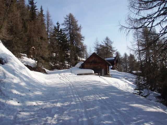
Vom Parkplatz beim Gehöft Zraunig folgt man dem Forstweg bis zum Wegende, dann in nordwestlicher Richtung zum Gipfel.

Abfahrt wie Aufstieg.


Further information at

http://www.tauernalpin.at

Tour gallery

Tour map and elevation profile

  • Open Street Map
  • Google
Minimum height 1524 m Maximum height 2665 m Detailed view

More about the tour author

harald07071
Member since 2008

Send private message

Comments

Von Spittal ins Mölltal bis zur Ortschaft Stall. Direkt im Ort führt eine Strasse zum Sonnberg, die man bis zum Gehöft Zraunig fährt.

GPS tracks

Trackpoints
  • GPX / Garmin Map Source (gpx) download
  • TCX / Garmin Training Center® (tcx) download
  • CRS / Garmin Training Center® (crs) download
  • Google Earth (kml) download
  • G7ToWin (g7t) download
  • TTQV (trk) download
  • Overlay (ovl) download
  • Fugawi (txt) download
  • Kompass (DAV) Track (tk) download
  • Track data sheet (pdf) download
  • Original file of the author (gpx) download

More about the tour author

harald07071
Member since 2008

Send private message
Share track
Add to my favorites
Remove from my favorites
Edit tags
My score
Rate
Track: Hochgrubenkogel (2664m)
Type: Ski touring
Distance: 15,4 km
Evaluated on:
Duration:
Day(s)
Hour(s)
Minute(s)
Score: Landscape Fun factor Fitness Technique