


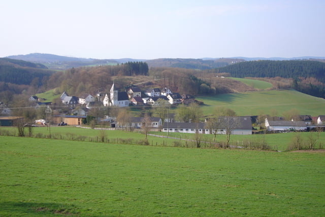
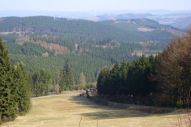
Gestartet bin ich in Attendorn nach Süden, ein halbe Runde um den Biggesee, bei Bremge rechts auf die K18 an Neger vorbei. Bis Bilstein auf der nicht sehr stark befahrenen B55 , rechts auf die L715 hinauf zur Hohen Bracht. Oben wenden und zurück zur L 715 nach Altenhundem. Dort ein kurzes Stück auf der B517, danach über Kirchhundem und Oberhundem zum Rhein-Weser-Turm. Von dort ein Stück zurück links in den asphaltierten Wirtschaftsweg bis Heinsberg, auf die L713 über die Oberdorfer Höhe nach Hilchenbach, Brachthausen, Varste. Alternativ kann mann auch ab Brachthausen auf die K 19 bis Wirme nach Varste fahren. Weiter geht es über Benolpe, Einsiedelei, Oberveischede und Helden zurück nach Attendorn.
Ausgangspunkt der Tour ist der Parkplatz an der Stadthalle in Attendorn, parken kann man aber auch am Biggesee, so spart man sich den sehr steilen innerörtlichen Anstieg zum Ende der Tour.
Tour gallery
Tour map and elevation profile
Minimum height 252 m
Maximum height 677 m
More about the tour author
|
|
Pluto |
Comments

GPS tracks
Trackpoints-
GPX / Garmin Map Source (gpx) download
-
TCX / Garmin Training Center® (tcx) download
-
CRS / Garmin Training Center® (crs) download
-
Google Earth (kml) download
-
G7ToWin (g7t) download
-
TTQV (trk) download
-
Overlay (ovl) download
-
Fugawi (txt) download
-
Kompass (DAV) Track (tk) download
-
Track data sheet (pdf) download
-
Original file of the author (gpx) download
More about the tour author
|
|
Pluto |
Add to my favorites
Remove from my favorites
Edit tags
Open track
My score
Rate