
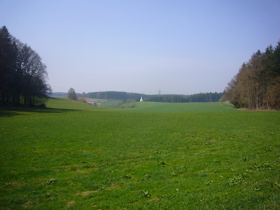

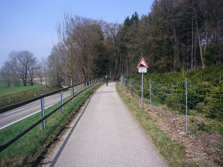
Von Dasing nach Pöttmes durch das hüglige Wittelsbacher Land. Ein schöne Runde zum Einradeln mit 90% Nebenstrecken und guten Asphalt. Auf dem Rückweg von Pöttmes nach Aichach ist die Strecke zwar mehr befahren, hier lässt sich aber gut auf den asphaltierten Radweg ausweichen.
Tour gallery
Tour map and elevation profile
Minimum height 399 m
Maximum height 529 m
More about the tour author
|
|
rheinhesse |
Comments

B300 und Dasing Nord abfahren. Bei der BayWa oder auch so auf der Taitinger Straße sind genügend Parkplätze. Dasing ist auch gut mit dem Zug zu erreichen. Vom Bahnhof die Industriestraße hoch (linke Seite ReWe) und rechts auf die Taitinger Str.
GPS tracks
Trackpoints-
GPX / Garmin Map Source (gpx) download
-
TCX / Garmin Training Center® (tcx) download
-
CRS / Garmin Training Center® (crs) download
-
Google Earth (kml) download
-
G7ToWin (g7t) download
-
TTQV (trk) download
-
Overlay (ovl) download
-
Fugawi (txt) download
-
Kompass (DAV) Track (tk) download
-
Track data sheet (pdf) download
-
Original file of the author (gpx) download
More about the tour author
|
|
rheinhesse |
Add to my favorites
Remove from my favorites
Edit tags
Open track
My score
Rate