


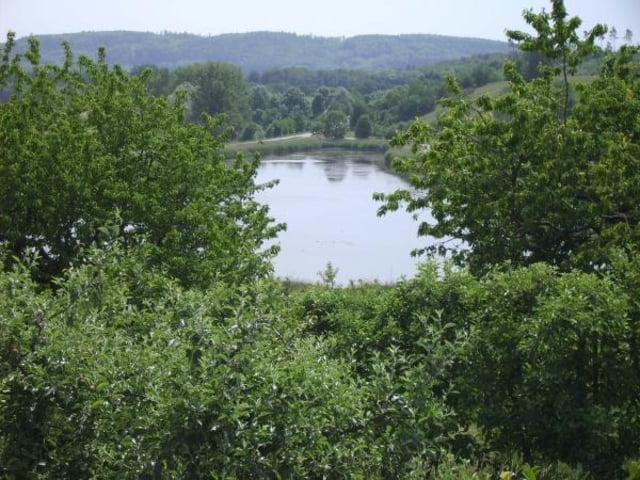
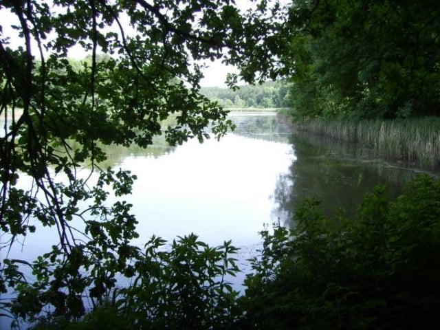
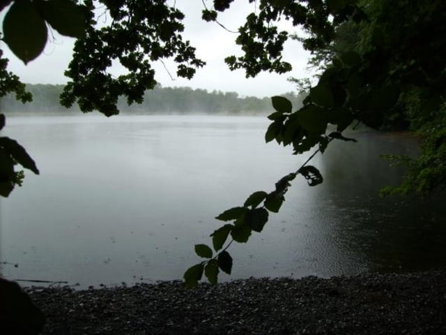
Kurze Feierabendrunde um die Salemer-Klosterweiher.
3 kurze aber steile Anstiege - überwiegend auf Feld- und Waldwegen entlang an der Salemer Aach und an einigen der zahlreichen Salemer-Weihern (Killenweiher, Martinsweiher, Bifangweiher) vorbei. Tour kann beliebig erweitert und abgewandelt werden oder aber mit (zukünftigen) Touren zusamen gefahren werden.
....ach ja - für diejenigen, die mit Geocaching etwas am Hut haben - entlang dieser Tour oder mit kleineren Abstechern sind etliche Geocaches von mir versteckt - z.B. die Geocache-Serie Salemer Klosterweiher.
Tour gallery
Tour map and elevation profile
Minimum height 417 m
Maximum height 461 m
More about the tour author

|
bodenseepingu |
Comments

Tourstart am Salemer Bahnhof / Mimmenhausen - dann die Unterführung ins Industriegebiet nehmen.
GPS tracks
Trackpoints-
GPX / Garmin Map Source (gpx) download
-
TCX / Garmin Training Center® (tcx) download
-
CRS / Garmin Training Center® (crs) download
-
Google Earth (kml) download
-
G7ToWin (g7t) download
-
TTQV (trk) download
-
Overlay (ovl) download
-
Fugawi (txt) download
-
Kompass (DAV) Track (tk) download
-
Track data sheet (pdf) download
-
Original file of the author (gpx) download
More about the tour author
|
|
bodenseepingu |
Add to my favorites
Remove from my favorites
Edit tags
Open track
My score
Rate