


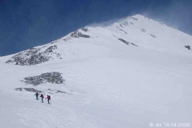
Man startet gleich beim Parkplatz in Praxmar und läßt den kleinen Schlepplift links liegen und steigt durch den lichten Wald bis zum Steinmandel am Schönbichel (2348 m). Über absolut skifreundliches Gelände geht es bis zum Satteljoch. Von dortigen Skidepot ohne Ski auf den Gipfel. Die Abfahrt erfolgt entlang der Aufstiegsspur.
Tour gallery
Tour map and elevation profile
Minimum height 1681 m
Maximum height 2763 m
More about the tour author

|
schmirk |
Comments

von Innsbruck Richtung Kühtai und in Gries i.Sellrain abbiegen nach Praxmar. Am Schlepplift in Praxmar gibt es einen gebührenpflichtigen Parkplatz.
GPS tracks
Trackpoints-
GPX / Garmin Map Source (gpx) download
-
TCX / Garmin Training Center® (tcx) download
-
CRS / Garmin Training Center® (crs) download
-
Google Earth (kml) download
-
G7ToWin (g7t) download
-
TTQV (trk) download
-
Overlay (ovl) download
-
Fugawi (txt) download
-
Kompass (DAV) Track (tk) download
-
Track data sheet (pdf) download
-
Original file of the author (g7t) download
More about the tour author
|
|
schmirk |
Add to my favorites
Remove from my favorites
Edit tags
Open track
My score
Rate