
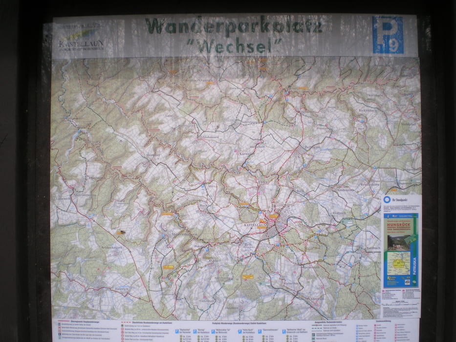

Diese Tour startet vom Wanderparkplatz Wechsel.
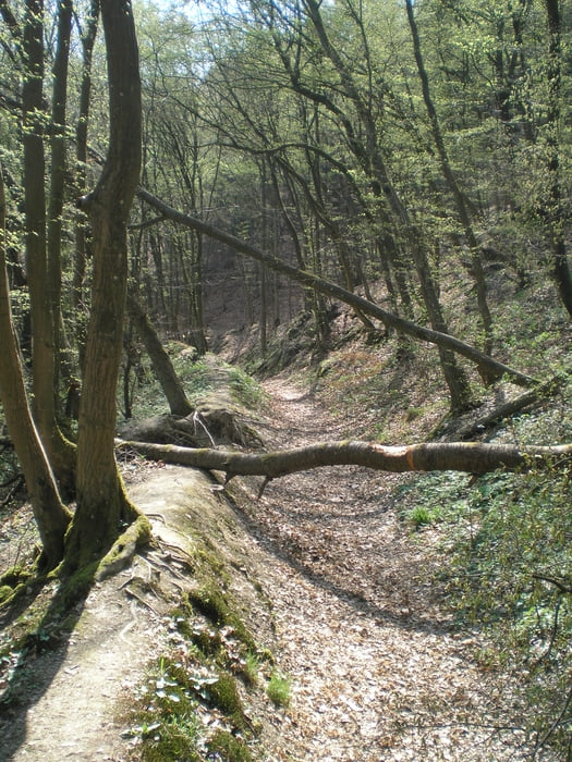
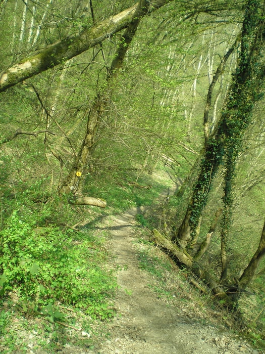
Durch den urwüchsigen mittleren Abschnitt des Baybachtals schlängelt sich ein abenteuerlicher Pfad. Ich empfehle dringend festes Schuhwerk und Trittsicherheit – für Kinderwagen eher ungeeignet – bei Schnee und Eis rate ich von dieser Tour ab.
Dies Tour hat mir sehr viel Spaß gemacht und ich wünsche euch viel Spaß beim nachlaufen.Tour gallery


Tour map and elevation profile
Minimum height 190 m
Maximum height 449 m
More about the tour author
|
|
Heinrichs |
Comments

http://maps.google.de/maps?hl=de&tab=wl
wenn ihr unter diesem link die Koordinate N50 07.288 E7 26.087 einkopiert könnt Ihr euch eine wegbeschreibung direkt zum Parkplatz anzeigen lassen
GPS tracks
Trackpoints-
GPX / Garmin Map Source (gpx) download
-
TCX / Garmin Training Center® (tcx) download
-
CRS / Garmin Training Center® (crs) download
-
Google Earth (kml) download
-
G7ToWin (g7t) download
-
TTQV (trk) download
-
Overlay (ovl) download
-
Fugawi (txt) download
-
Kompass (DAV) Track (tk) download
-
Track data sheet (pdf) download
-
Original file of the author (gpx) download
More about the tour author
|
|
Heinrichs |
Add to my favorites
Remove from my favorites
Edit tags
Open track
My score
Rate