
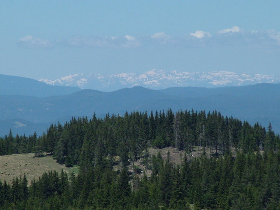

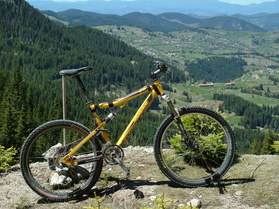
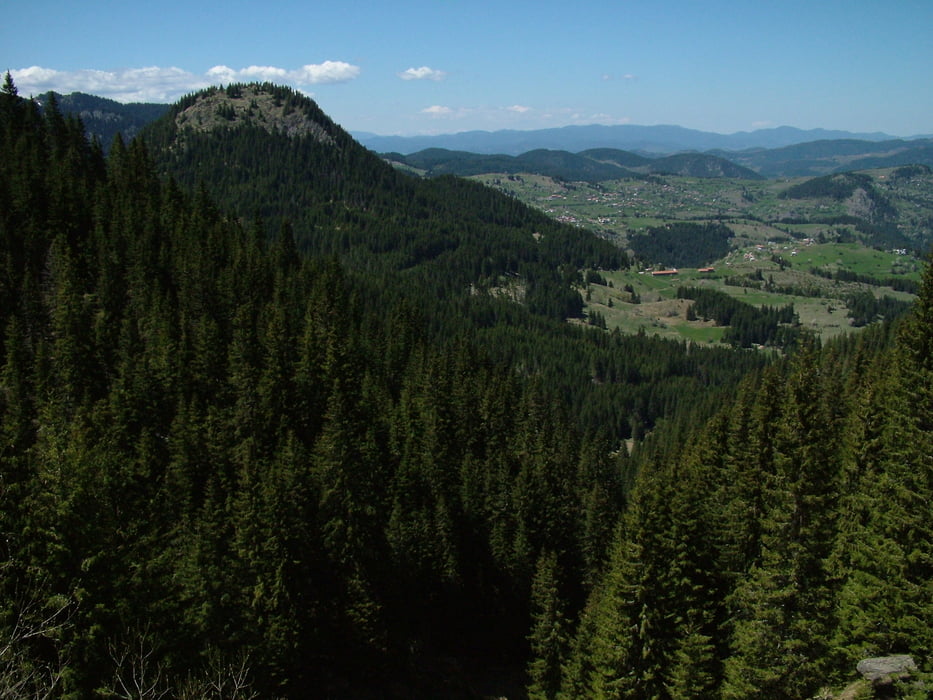
Leg seven of "Rudopia" route. The tour starts from the village of Mugla and climb up to the NW slope of Mt Shirokolashki Snezhnik - the second of height in the Rhodope Mountains - 2188 m. Great views in all directions are provided from this point. Once you reach the so called "panoramic road" the encounters endless ups and downs as it follows the 1900 contour. Eventually the forest road comes to an asphalt and crosses the main road from Devin to Smolyan in the pass called "Prevala". From "Prevala" it takes about 30 minutes on horizontal gravel road to reach the center of Pamporovo ski resort.
Further information at
http://rudopia.org/#/bg/smolyan/Tour gallery
Tour map and elevation profile
Minimum height 1353 m
Maximum height 1796 m
More about the tour author
|
|
Pirateria |
Comments

GPS tracks
Trackpoints-
GPX / Garmin Map Source (gpx) download
-
TCX / Garmin Training Center® (tcx) download
-
CRS / Garmin Training Center® (crs) download
-
Google Earth (kml) download
-
G7ToWin (g7t) download
-
TTQV (trk) download
-
Overlay (ovl) download
-
Fugawi (txt) download
-
Kompass (DAV) Track (tk) download
-
Track data sheet (pdf) download
-
Original file of the author (gpx) download
More about the tour author
|
|
Pirateria |
Add to my favorites
Remove from my favorites
Edit tags
Open track
My score
Rate