
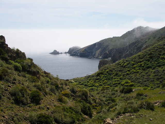

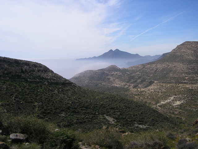
Tour an der Küste im Süden des Nationalparks Cabo de Gata mit tollen Ausblicken und vielen Stränden
Der Singletrail vom Playazo aus über die Hügel-kette ist kaum fahrbar (steil, Geröll). Der Abstecher zum Cerro de los Lobos lohnt also nicht wirklich.
Zurück in Rodalquinal weiter auf Teer südlich bis zum Mirador und nach 1,5km links in Piste zum Palmenhain abbiegen. Dort ein sanfter downhill bis la Isletta. Am westlichen Ende der Uferpromenade beginnt ein Trail, der auf und ab am Wasser entlang weiterführt. Nach Los Escullos geht die Kfz-freie Piste mit tollen Ausblicken am Meer entlang weiter bis SanJose (Verpflegung)
Auf Piste und Trail zum Punta de Monsul. Von San Jose aus auf der Hauptstrasse nach El Pozo de los Frailes. Schöner Wanderweg durch die Rambla nach Los Escullos Auf Teer zurück zum Ausgangspunkt.
Alternativen:
-am Morron de los Genoveses gibts noch sandige Trails
Further information at
http://garaje.ya.com/amvozmediano/zona_mtb/Tour gallery
Tour map and elevation profile
Minimum height
Maximum height 147 m
More about the tour author
|
|
komamati-san |
Comments

GPS tracks
Trackpoints-
GPX / Garmin Map Source (gpx) download
-
TCX / Garmin Training Center® (tcx) download
-
CRS / Garmin Training Center® (crs) download
-
Google Earth (kml) download
-
G7ToWin (g7t) download
-
TTQV (trk) download
-
Overlay (ovl) download
-
Fugawi (txt) download
-
Kompass (DAV) Track (tk) download
-
Track data sheet (pdf) download
-
Original file of the author (g7t) download
More about the tour author
|
|
komamati-san |
Add to my favorites
Remove from my favorites
Edit tags
Open track
My score
Rate