Login

Forgot your login?

Cookies have to be accepted!
Your browser's cookie functionality is disabled. Please enable this functionality.

Not a member yet?

Register now
Login

Available for registred users only

Log in to use this feature.

Forgot your login?

Cookies have to be accepted!
Your browser's cookie functionality is disabled. Please enable this functionality.

Not a member yet?

Register now
Filter
Categories
Advanced filters
  • Distance (km)
  • Height
Save filters Reset filter

TrackRank

QRCode

Technical data

Distance26,4 km Height1195 m Way down1177 m Duration03:30 h:m Date18.04.2009
Scores Author User Landscape Fun factor Fitness Technique

Statistics

5118 Views 1 Score 1031 Downloads 5.00 Average
Rate
  • Track data sheet
  • Directions
  • Downloads
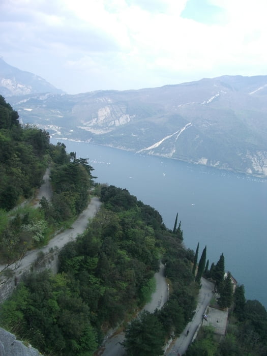
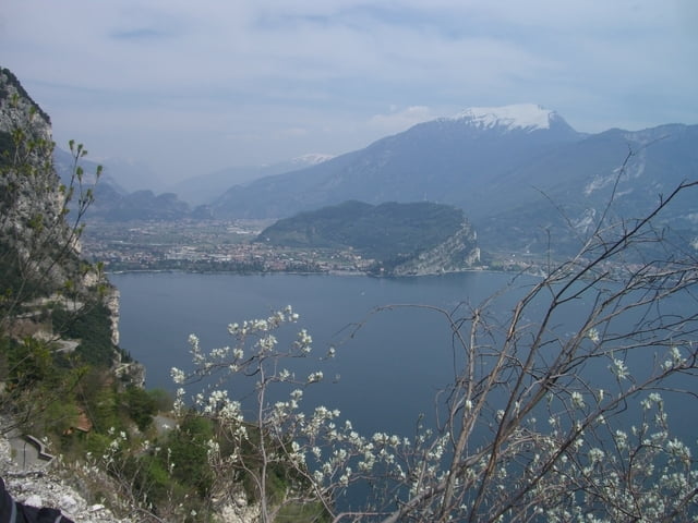
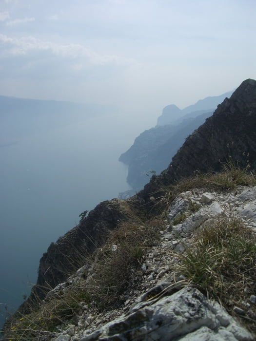
Von Riva über die alte Panoramastraße nach Pregasina. Dann über Passo Rocchetta und Pre zurück nach Riva (ähnlich Moser 12 Tour 22).

Tour gallery

Tour map and elevation profile

  • Open Street Map
  • Google
Minimum height 68 m Maximum height 1215 m Detailed view

More about the tour author

benm
Member since 2008

Send private message

Comments

Von Riva Richtung Limone (Westseite Gardasee). Tourstartet vor dem Tunneleingang am Ortsausgang in Riva del Garda.

GPS tracks

Trackpoints
  • GPX / Garmin Map Source (gpx) download
  • TCX / Garmin Training Center® (tcx) download
  • CRS / Garmin Training Center® (crs) download
  • Google Earth (kml) download
  • G7ToWin (g7t) download
  • TTQV (trk) download
  • Overlay (ovl) download
  • Fugawi (txt) download
  • Kompass (DAV) Track (tk) download
  • Track data sheet (pdf) download
  • Original file of the author (gpx) download

More about the tour author

benm
Member since 2008

Send private message
Share track
Add to my favorites
Remove from my favorites
Edit tags
My score
Rate
Track: Gardasee - Passo Rocchetta
Type: Mountain bike
Distance: 26,4 km
Evaluated on:
Duration:
Day(s)
Hour(s)
Minute(s)
Score: Landscape Fun factor Fitness Technique