


Startpunkt am Sportplatz von Lauf.
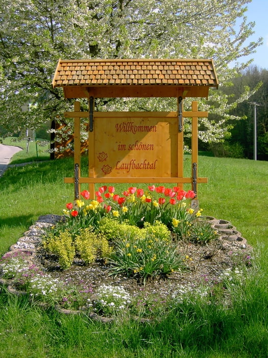
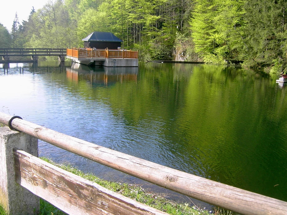
Weiter Richtung Lauf nach dem Friedhof rechts Richtung Burg Neuwindeck dann auf die Laufbachstrasse weiter zur Glashütte (Einkehrmöglichkeit) mit kleinem Stausee. Der Staße weiter geradeaus folgen Richtung Breitenbrunnen.In Breitenbrunnen Blick auf den Hornisgrindeturm.Der Rückweg erfolgt über die Hohritt (Einkehrmöglichkeit) den Hornenberg über den Matzenhof nach Lauf.
In Lauf dann wieder zum Ausgangspunkt dem Sportplatz Lauf fahren.
Viel Spaß beim Nachfahren !!!
Tour gallery
Tour map and elevation profile
Minimum height 173 m
Maximum height 785 m
More about the tour author
|
|
ambaibiker |
Comments

GPS tracks
Trackpoints-
GPX / Garmin Map Source (gpx) download
-
TCX / Garmin Training Center® (tcx) download
-
CRS / Garmin Training Center® (crs) download
-
Google Earth (kml) download
-
G7ToWin (g7t) download
-
TTQV (trk) download
-
Overlay (ovl) download
-
Fugawi (txt) download
-
Kompass (DAV) Track (tk) download
-
Track data sheet (pdf) download
-
Original file of the author (gpx) download
More about the tour author
|
|
ambaibiker |
Add to my favorites
Remove from my favorites
Edit tags
Open track
My score
Rate