


Dies ist die beste Tour die es in Holland gibt. eine Bachüberquerung, viele
Singletracks und Spass wie auf einer Achterbahn. Man kann an vielen Stellen
starten, und es hängt davon ab ob man zuerst über Landwirschaftsstrassen
oder Singletracks fahren will. Anders wie in den Alpen geht es hier nicht
zwei Stunden hoch und dann danach eine halbe Stunde runter, sondern immer
wieder hoch und runter usw. bis sich deine Beine wie eine Plastiktüte
anfühlen. Auch für die verwöhnten Garda-Biker gibt es hier noch
Spass........Die Landschaft ist schön und die Tracks sind technisch und mit
viel Geröll. Die echten Cracks sollten erst nach dem Regen kommen weil dann
steigert steigert sich das Niveau bis auf sechs.
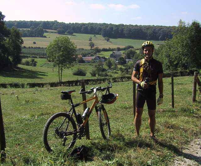
Tour gallery
Tour map and elevation profile
Minimum height 68 m
Maximum height 248 m
More about the tour author
|
|
andre593 |
Comments

Am besten man sucht sich ein kleines Dorf in der nahe der strecke. Wenn man fruh ist, gibt es hier uberall genugend Parkplatze.
GPS tracks
Trackpoints-
GPX / Garmin Map Source (gpx) download
-
TCX / Garmin Training Center® (tcx) download
-
CRS / Garmin Training Center® (crs) download
-
Google Earth (kml) download
-
G7ToWin (g7t) download
-
TTQV (trk) download
-
Overlay (ovl) download
-
Fugawi (txt) download
-
Kompass (DAV) Track (tk) download
-
Track data sheet (pdf) download
More about the tour author
|
|
andre593 |
Add to my favorites
Remove from my favorites
Edit tags
Open track
My score
Rate