


Start am Parkplatz bei der Kiesgrube
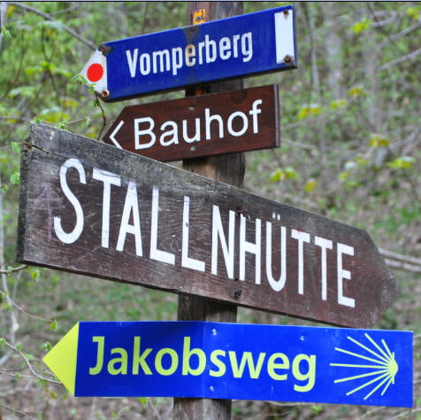
Auf Forstwegen ins Tal, dann hochschieben nach Vomperberg.
Forstweg (Alpsteig) am Waldrand entlang, dann hoch, immer dem Forstweg entlang.
Beim runterfahren dann rechts abbiegen, ab hier wird es immer trailiger.
Man kommt unten in der Nähe der Kirch St. Georgen raus.
Auf Forstweg wieder zurück nach Stans und dann auf der Fahrstraße zurück zum Parkplatz.
Tour gallery
Tour map and elevation profile
Minimum height 547 m
Maximum height 1297 m
More about the tour author
|
|
RandB |
Comments

Ausfahrt auf der Autobahn Richtung Vomp, dann links auf den Parkplatz fahren.
GPS tracks
Trackpoints-
GPX / Garmin Map Source (gpx) download
-
TCX / Garmin Training Center® (tcx) download
-
CRS / Garmin Training Center® (crs) download
-
Google Earth (kml) download
-
G7ToWin (g7t) download
-
TTQV (trk) download
-
Overlay (ovl) download
-
Fugawi (txt) download
-
Kompass (DAV) Track (tk) download
-
Track data sheet (pdf) download
-
Original file of the author (gpx) download
More about the tour author
|
|
RandB |
Add to my favorites
Remove from my favorites
Edit tags
Open track
My score
Rate